Laki
Nearing the top of Laki, and the view to the south extends further now.
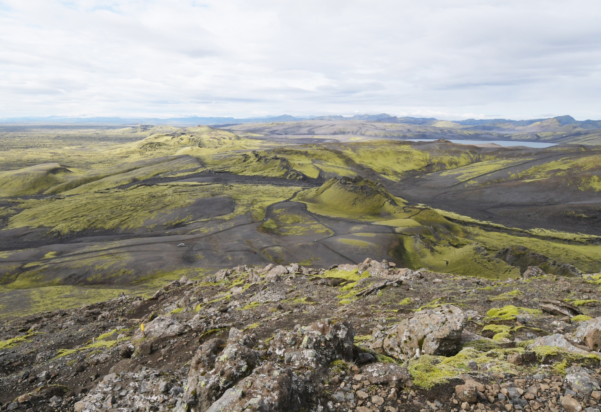
This sand and lava may have been deposited here during the eruptions nearby.
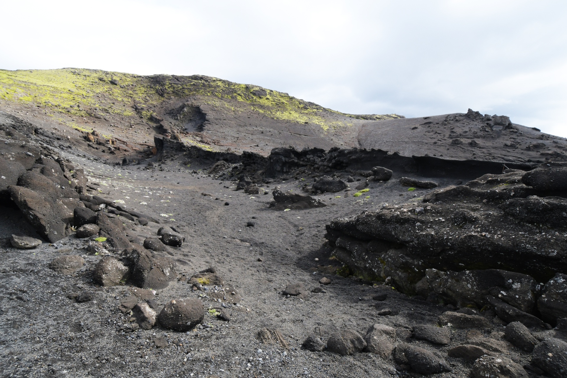
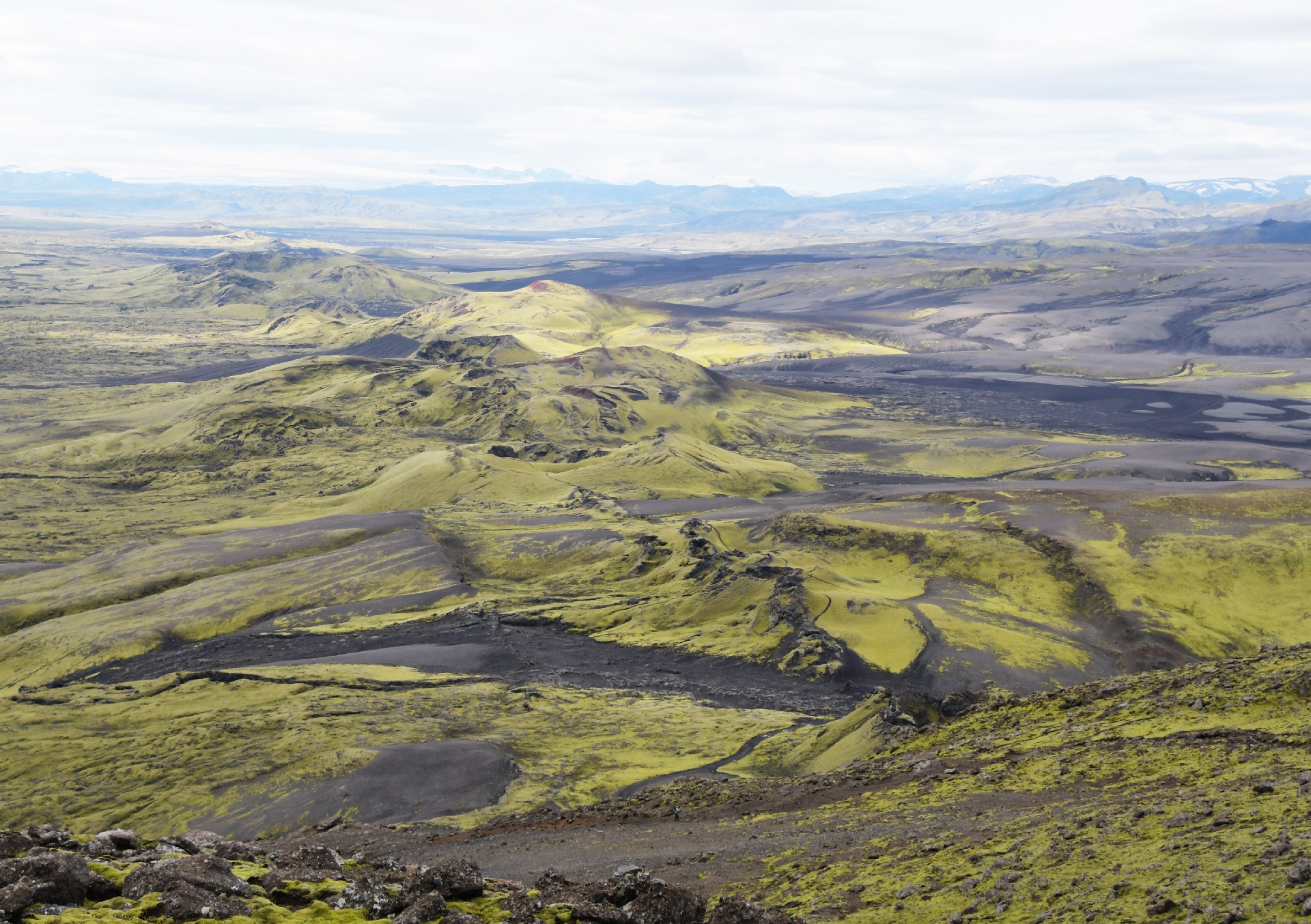
Now the view begins to open up to the north.
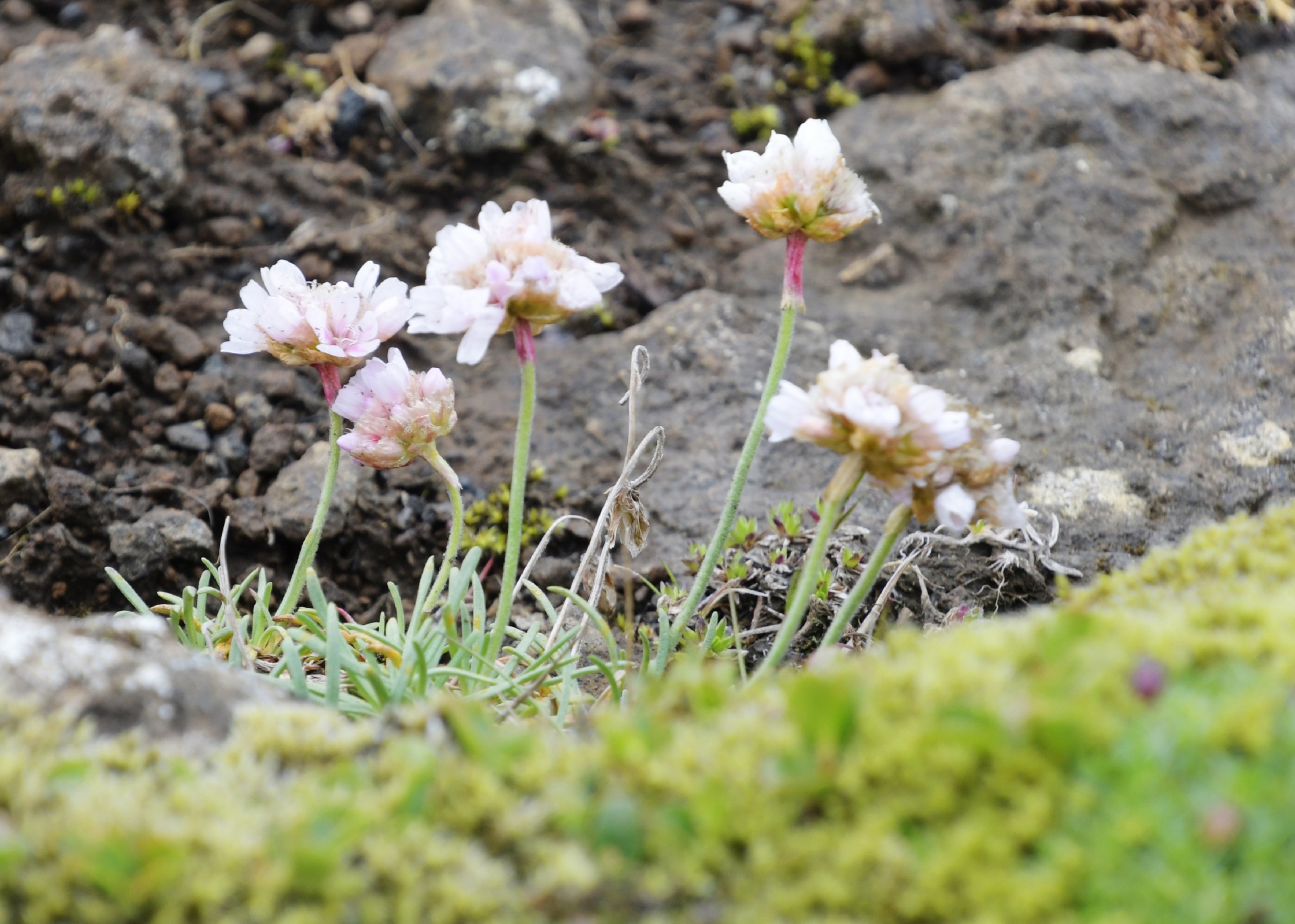
These flowers were everywhere, and the park rangers were keen to see them survive the tourists...
Almost at the top, and now Vatnajokull comes into view as well.
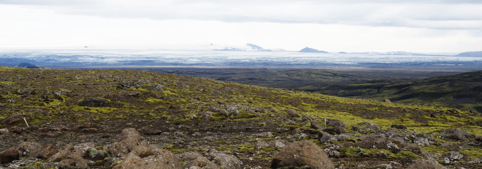
This is looking west into the interior of Iceland. This was "4x4 only" territory.
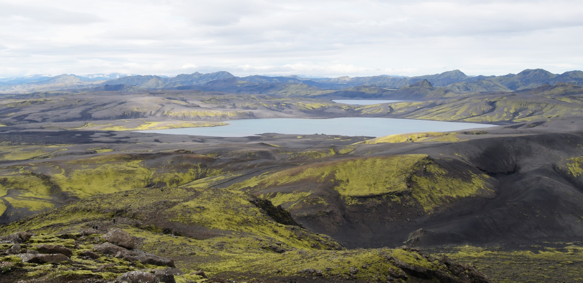
The top of the climb. I wasn't that slow, honest! ...I wanted to get this picture so I waited. ...yeah, that's my story!
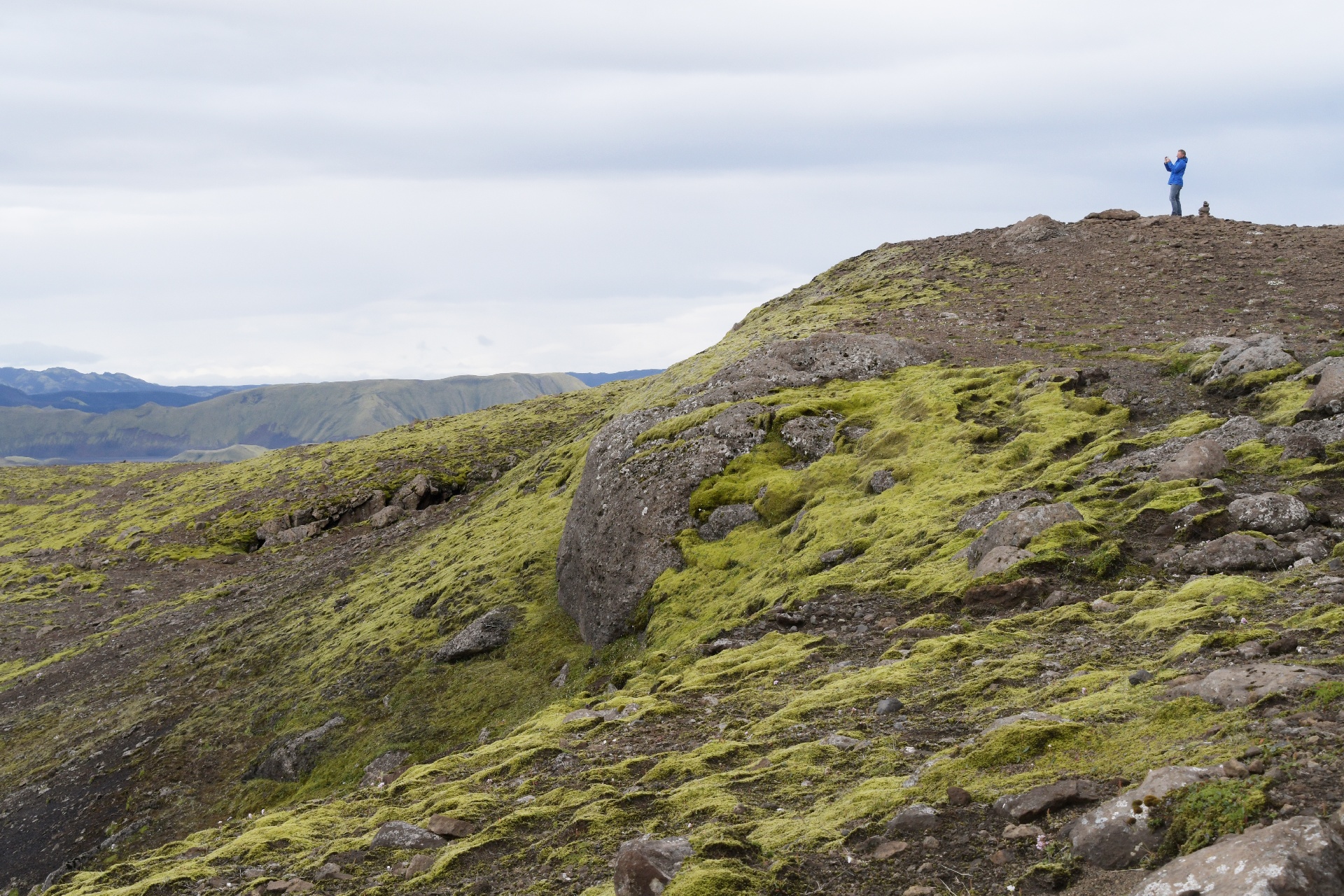
This split in the rock near the peak of Laki lines up with the craters to the south
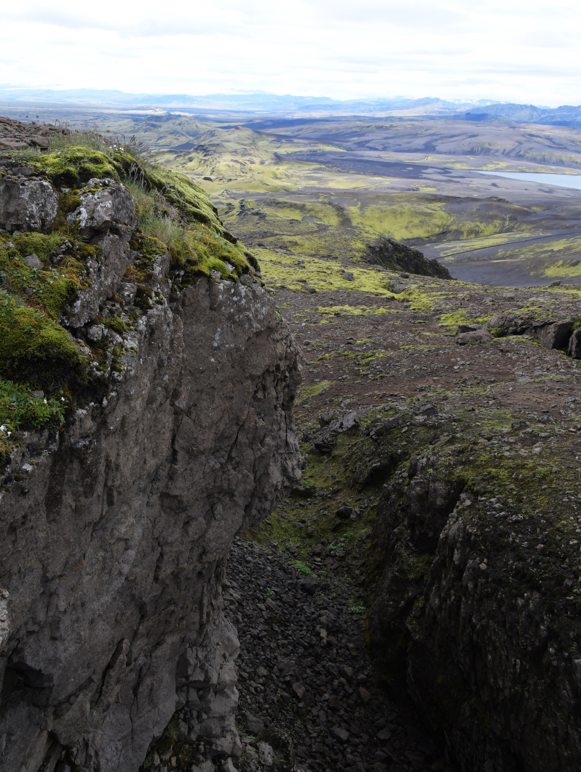
And to the north as well. What makes Laki unusual, is that the line of craters passed by under it, and continued on the other side.
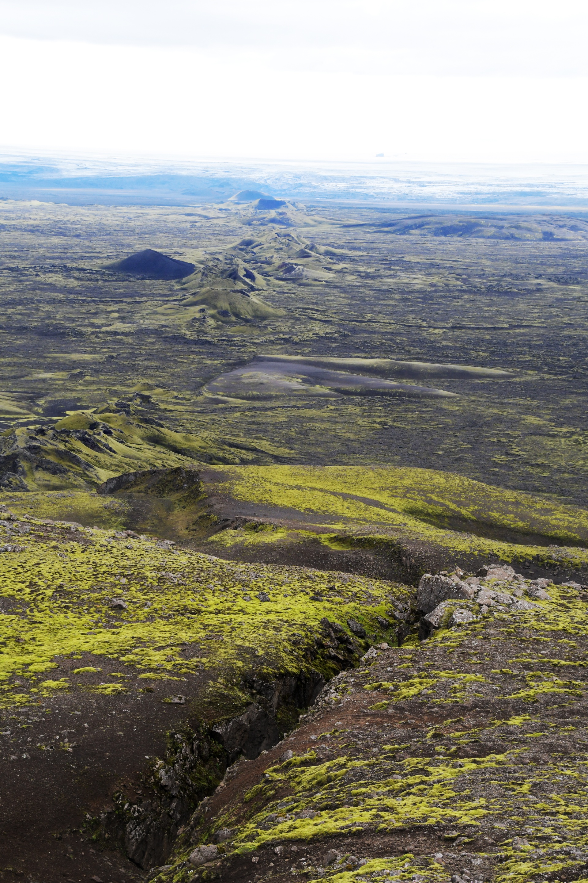
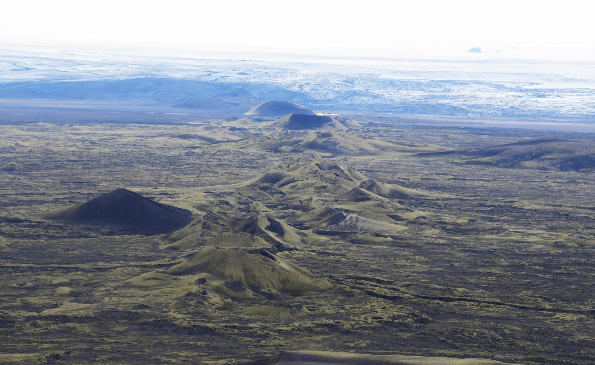
The craters to the north. The ground split about a meter wide for the 25 km, and a chunk of Laki must have plugged that gap.
That lone black cone apparently was caused by groundwater getting into the lava and creating this cider that the moss can't grow well on.
The crater line is not straight, it shifts left and right a bit, and disappears under Vatnajokull. The left and right shifts may have caused those left-to-right ridges.
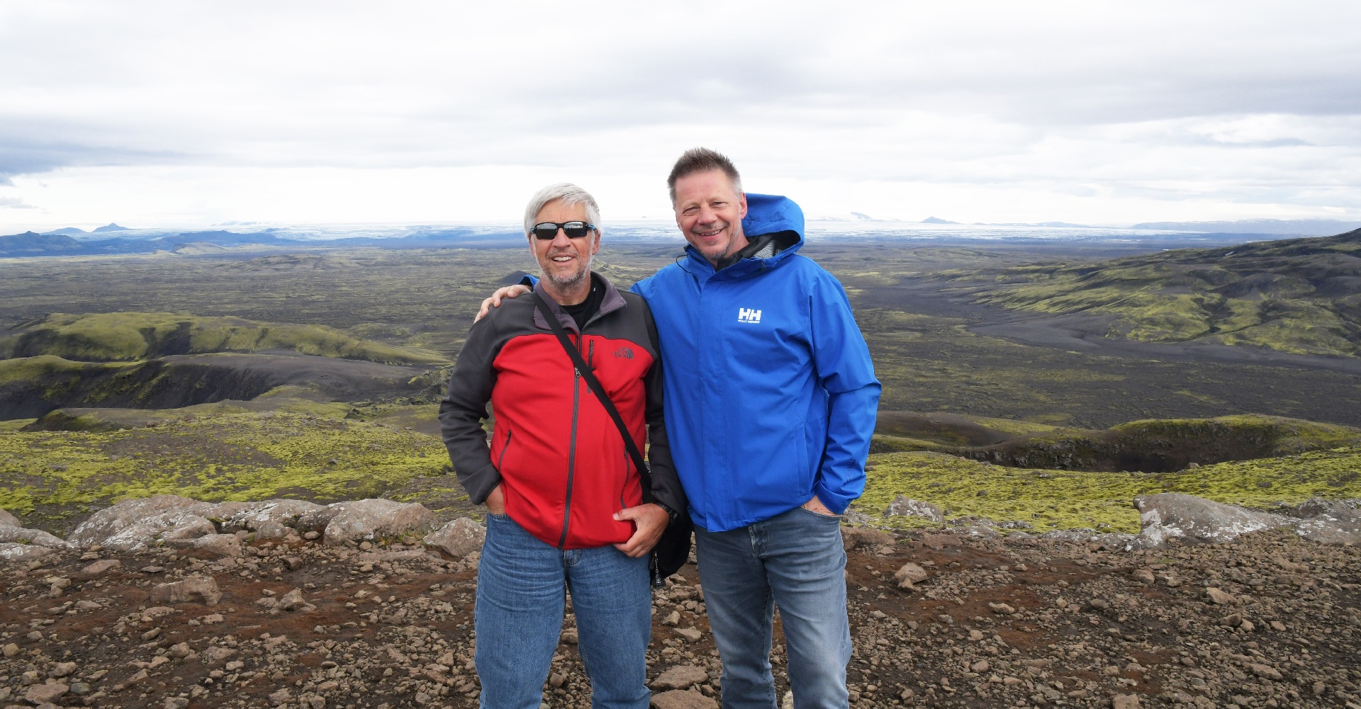
Group picture!
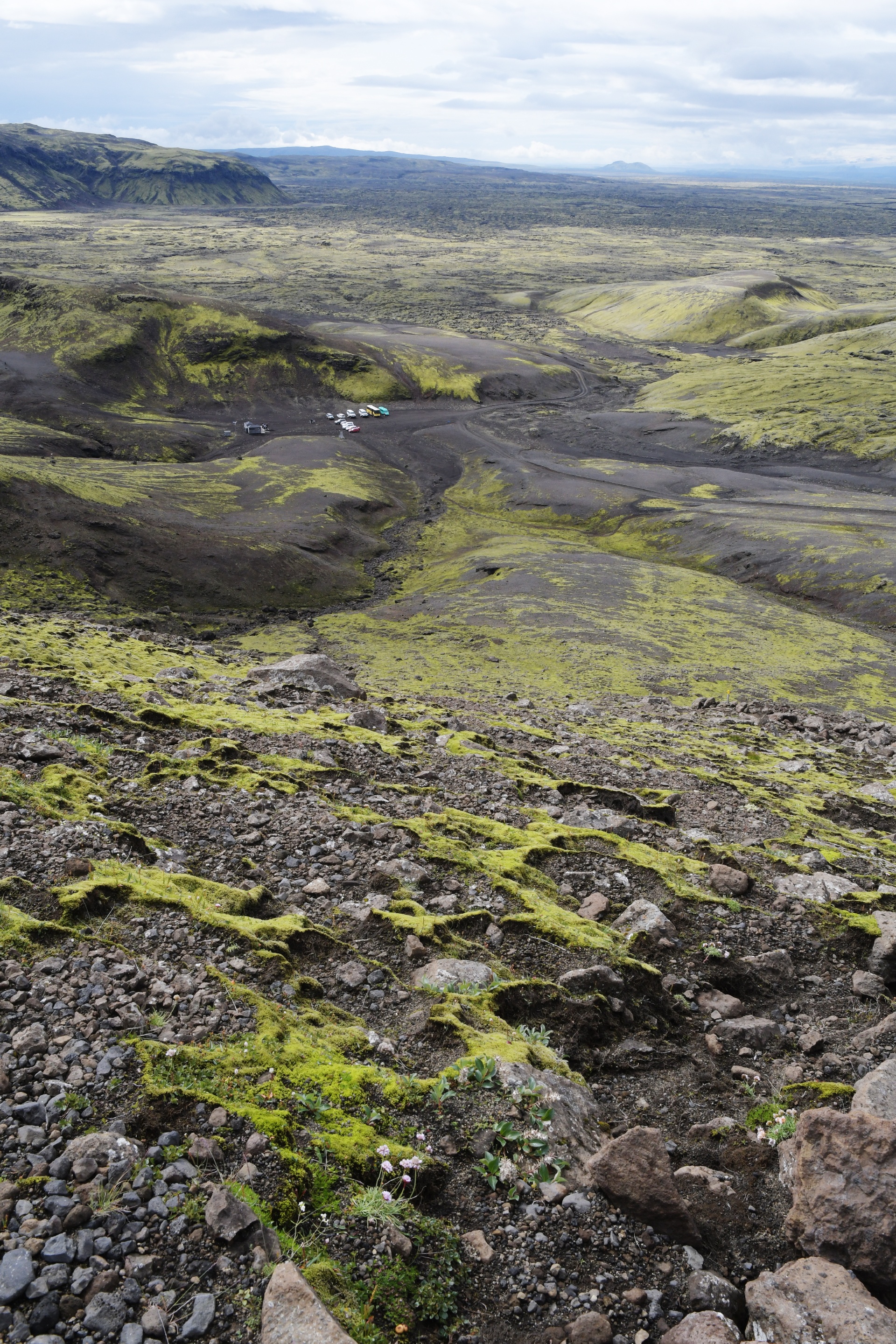
On the way back down. You can see the parking lot is getting busier now.
...next page.