Northern Iceland
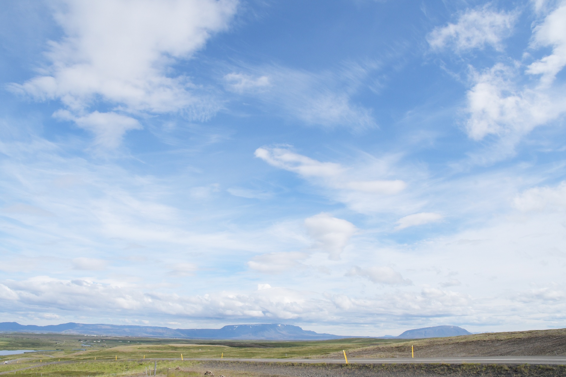
And we're now approaching Myvatn. "Vatn" in Icelandic means "lake", and the lake's name means something like "mosquito lake". There were a lot of little bugs.
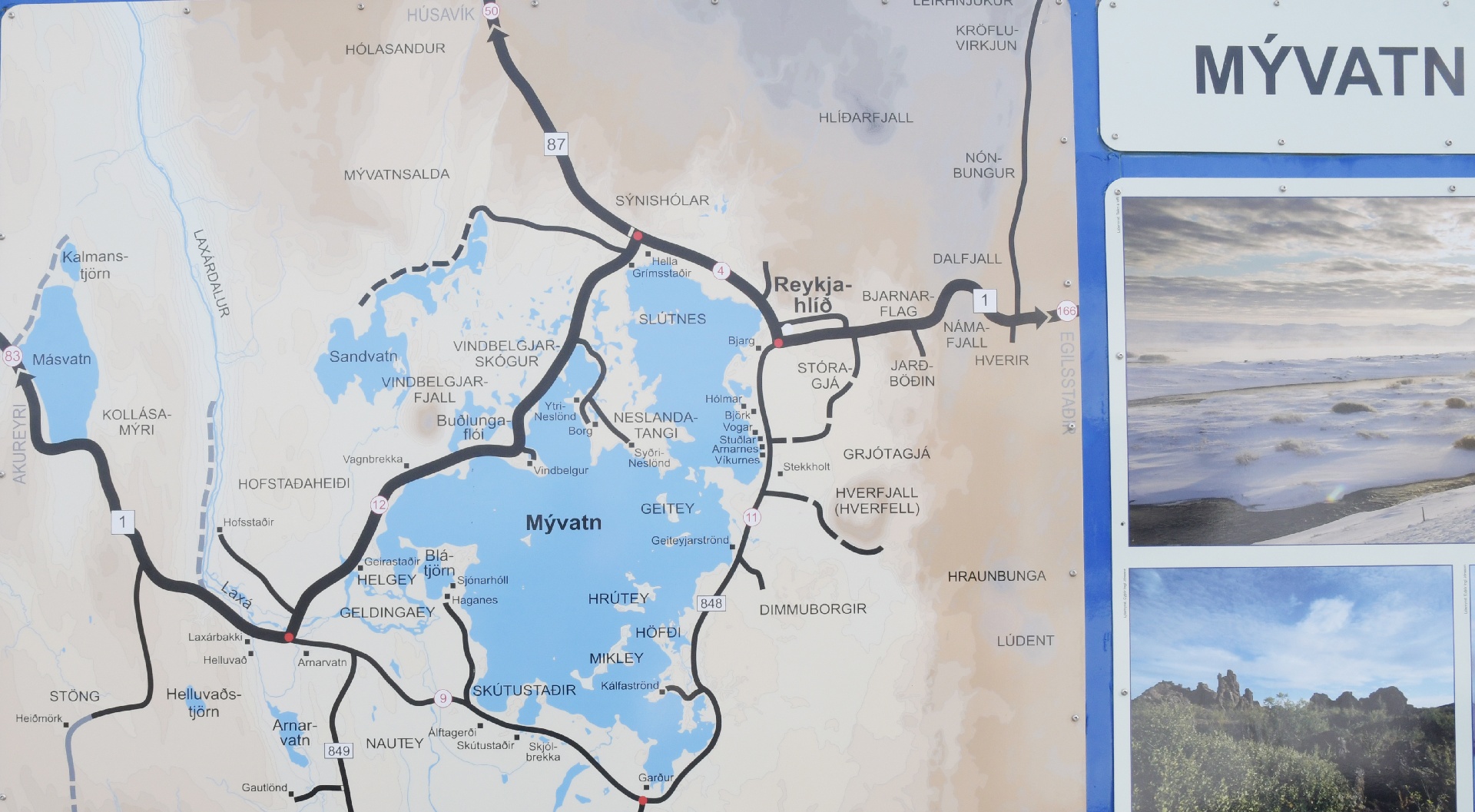
The local Myvatn map. We came in from the left on #1, then went around the south end of the lake, and stopped at several locations along the eastern (right) edge.
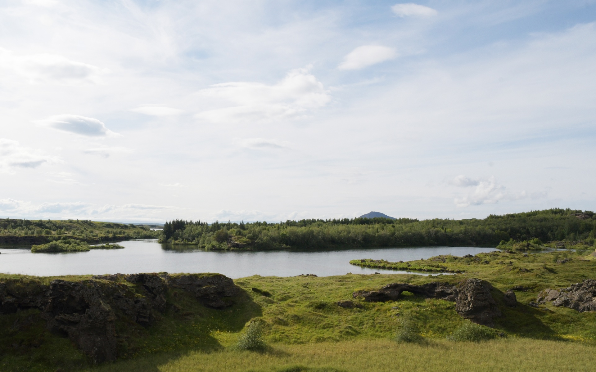
The region is quite flat, and the lake is shallow.
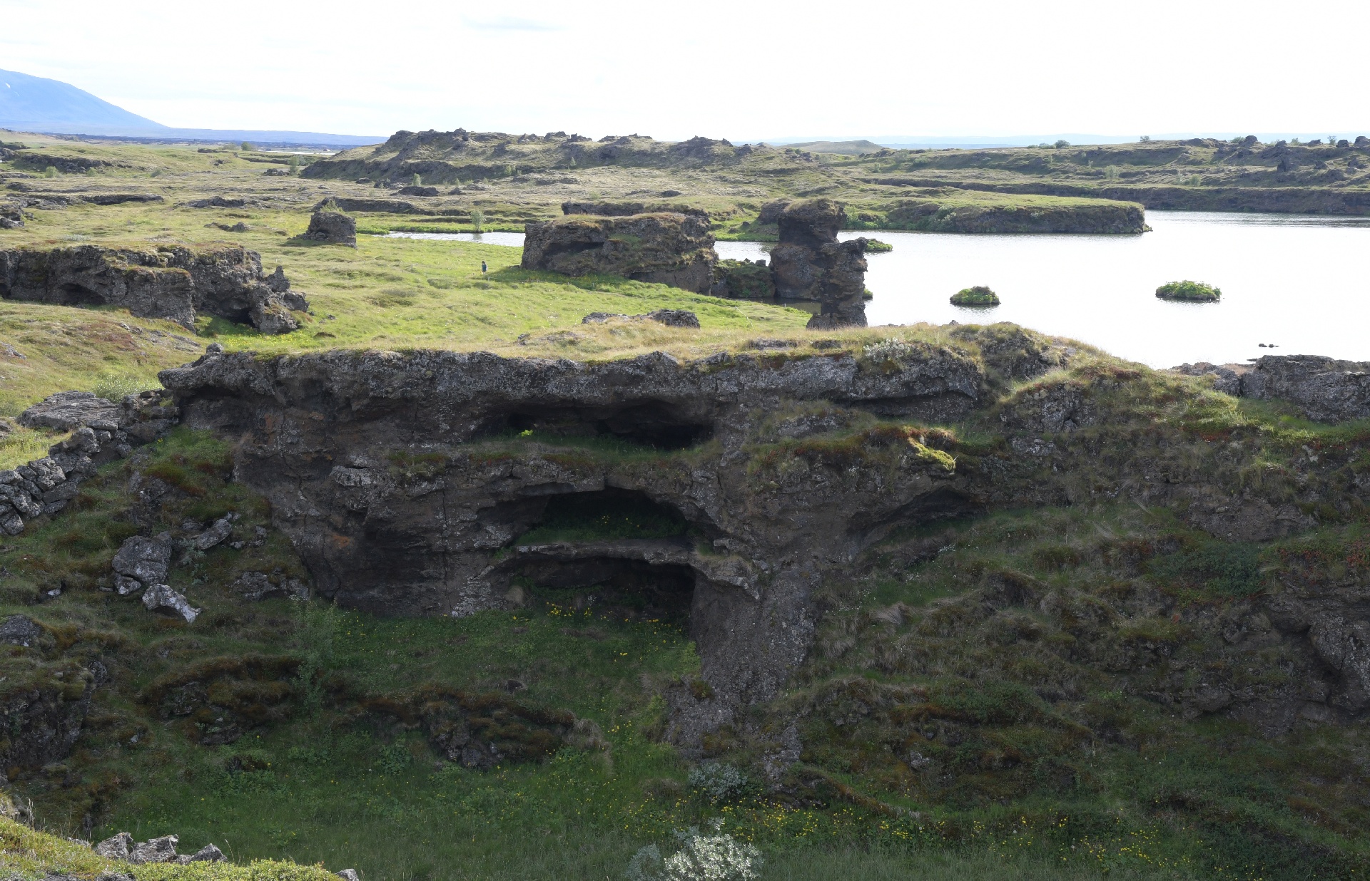
The many lava flows that covered the region are badly eroded.
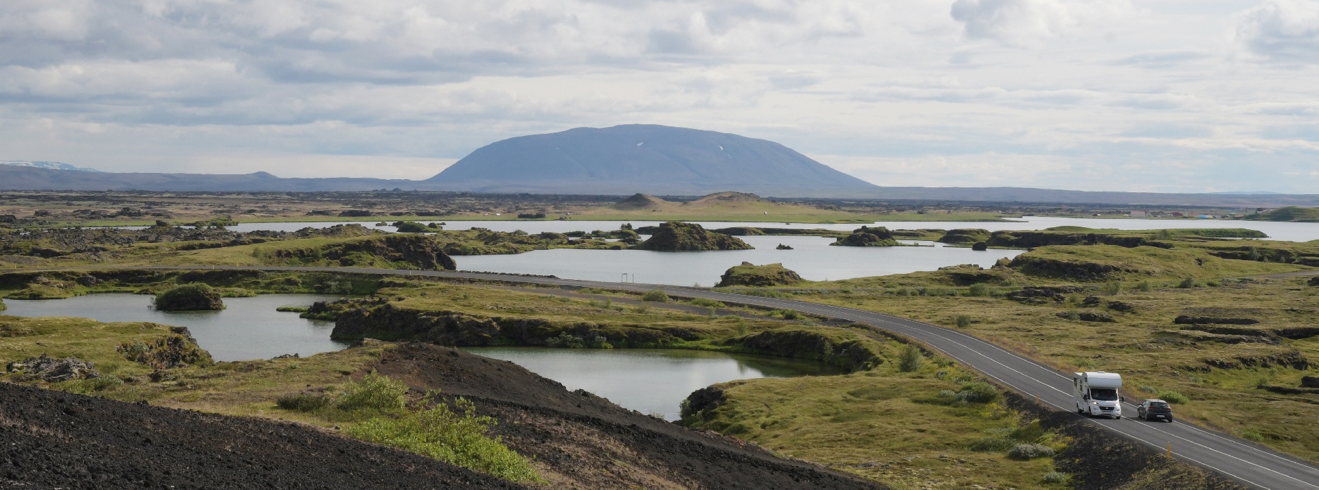
The view from a small hill. Note the camper and car on the hiway. The camper takes up its entire lane, from road edge to center line. We had the same issue...
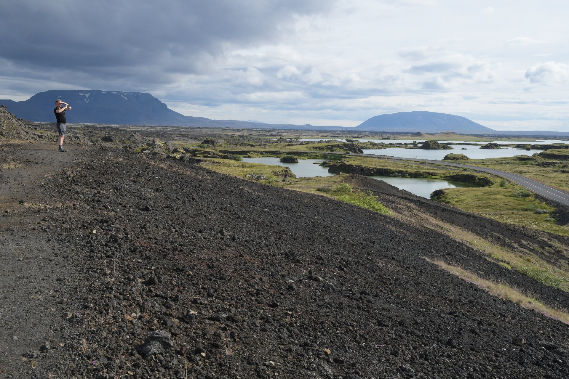
We walked this trail but only a short distance. It went along the edge of an old lava flow, at the point where the flow had stopped advancing.
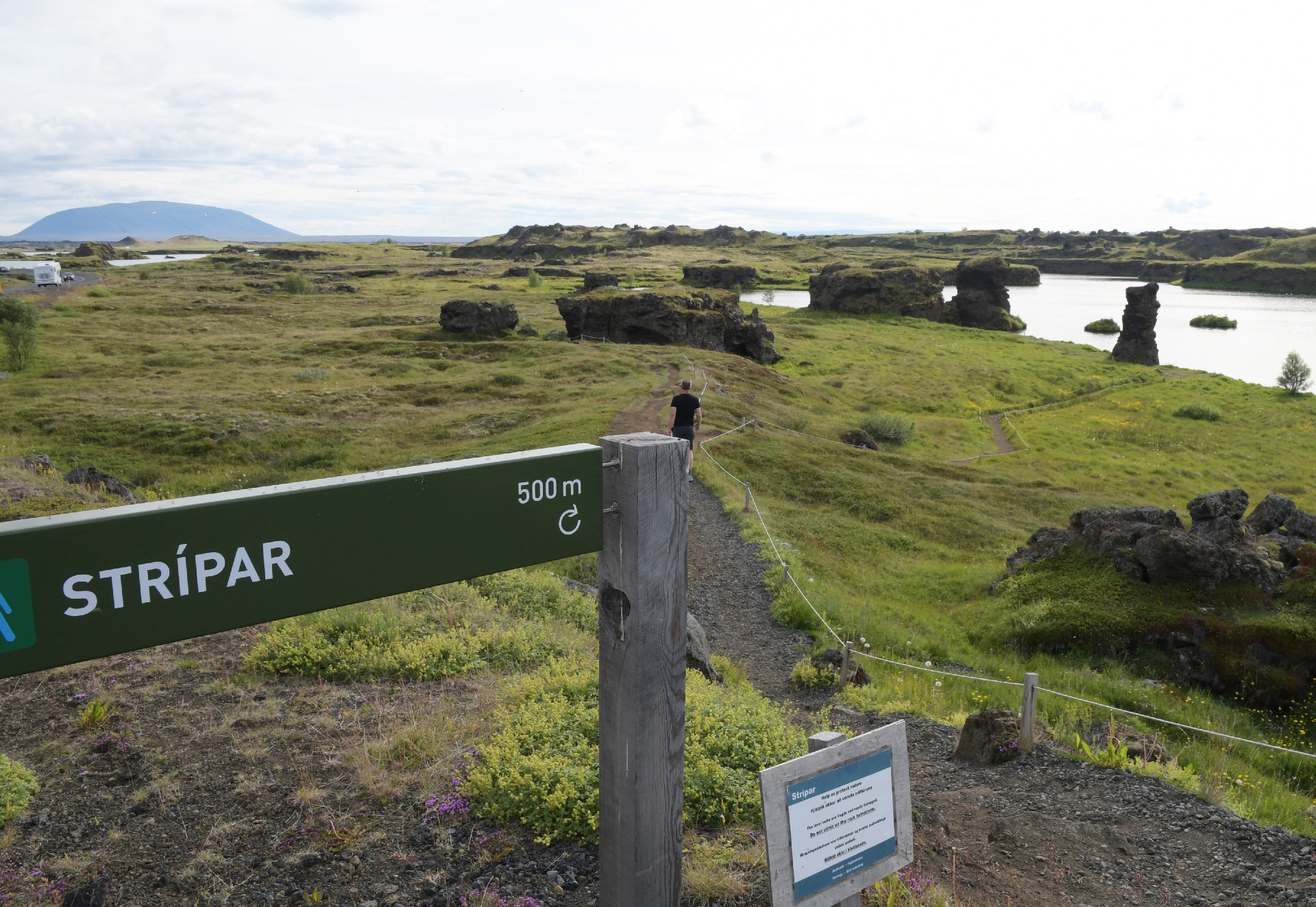
We also checked out this lake trail, but the Stripar wasn't working this day...
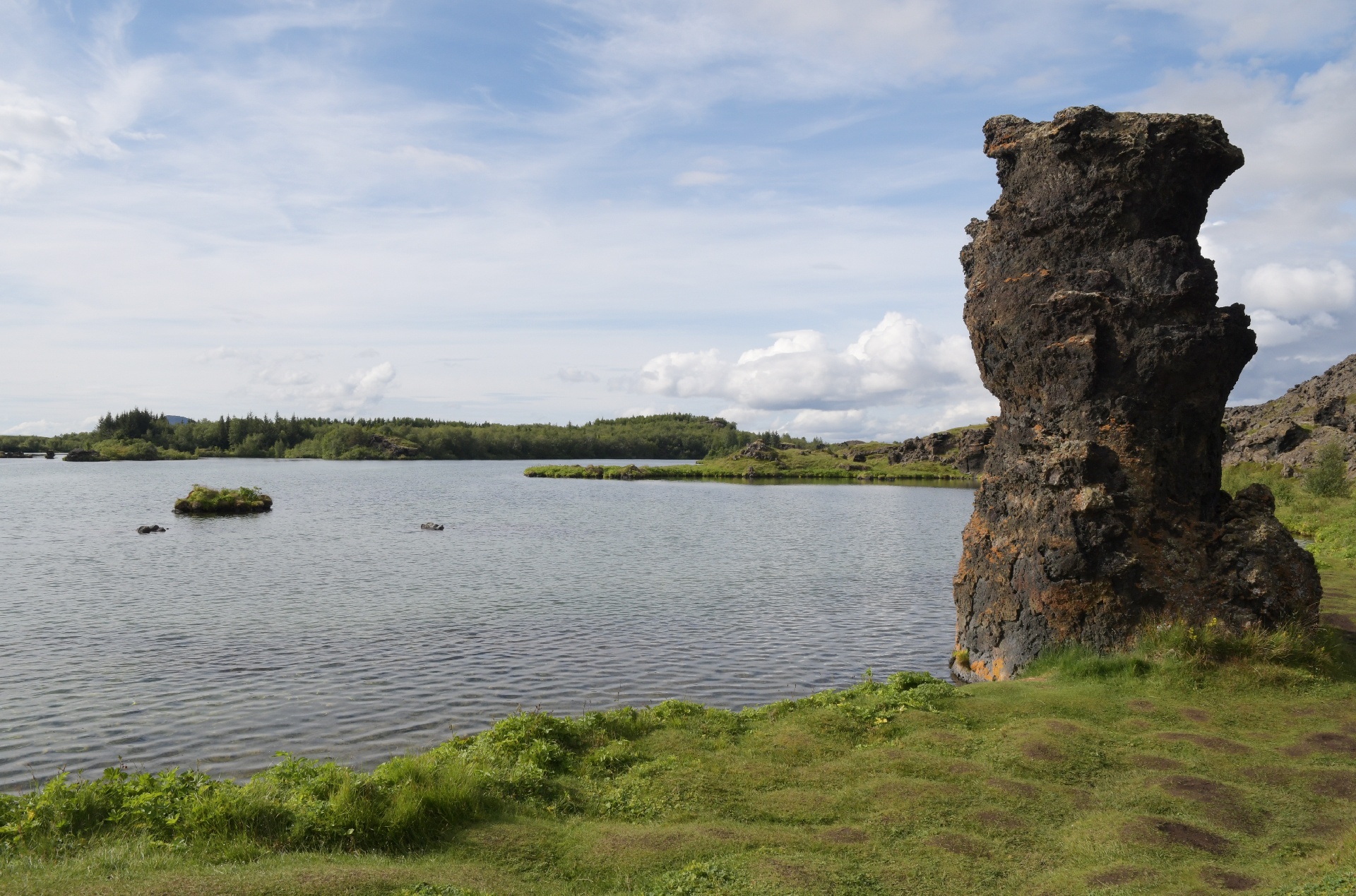
It was nice down by the water, but, as the lake's name suggests, it was buggy...
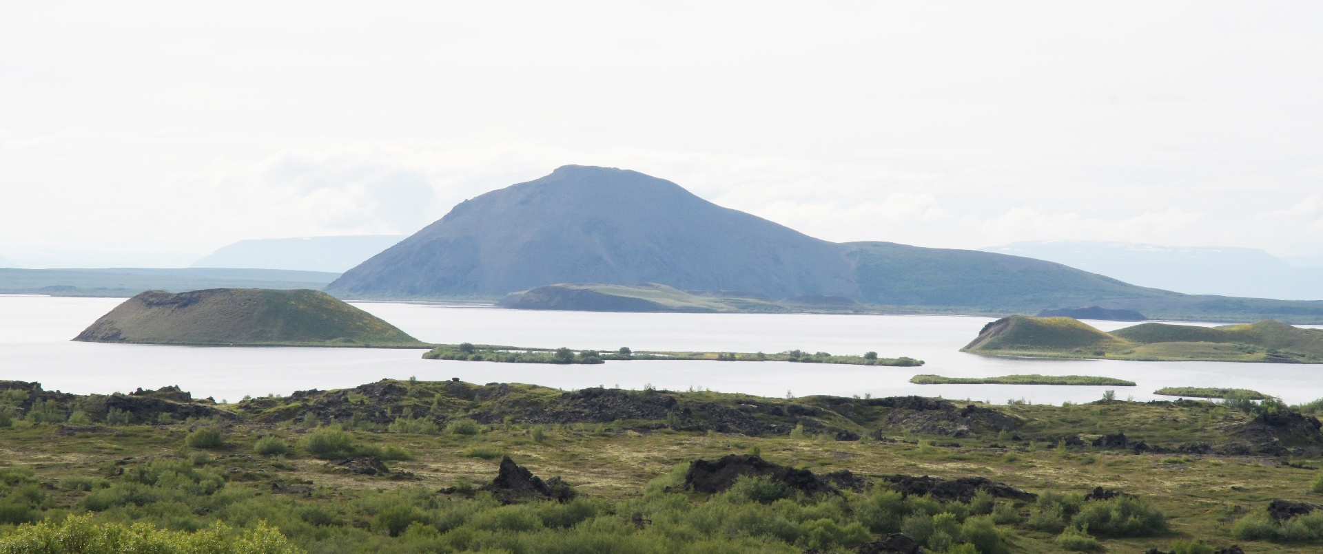
We drove a bit further along the lake, and saw these 3 recent small cinder cones.
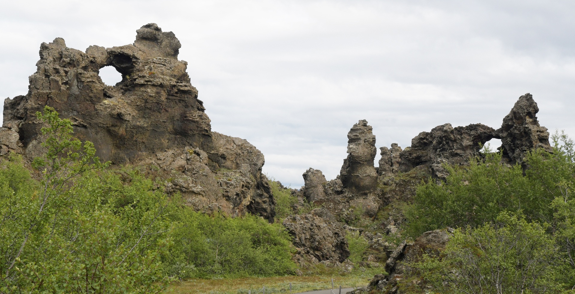
We then stopped at the Dimmuborgur, a series of trails in a lava maze.
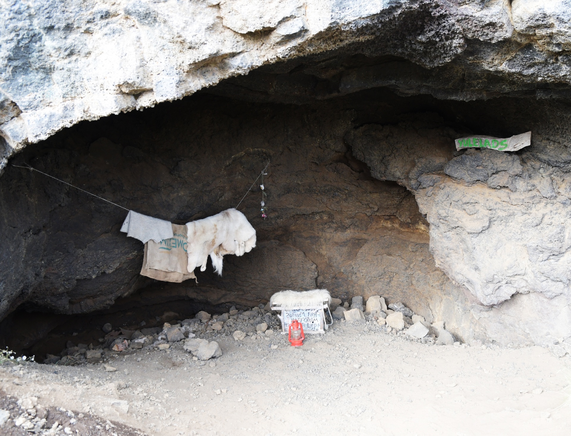
There was even a troll cave!
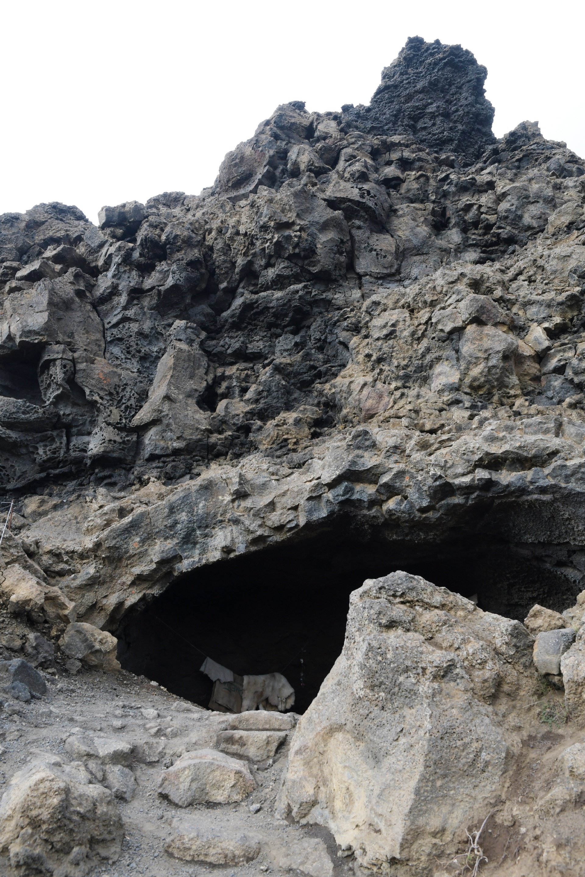
Which was currently unoccupied.
...next page.