On the road, to Vik.
We climbed the 547 steps to the top...
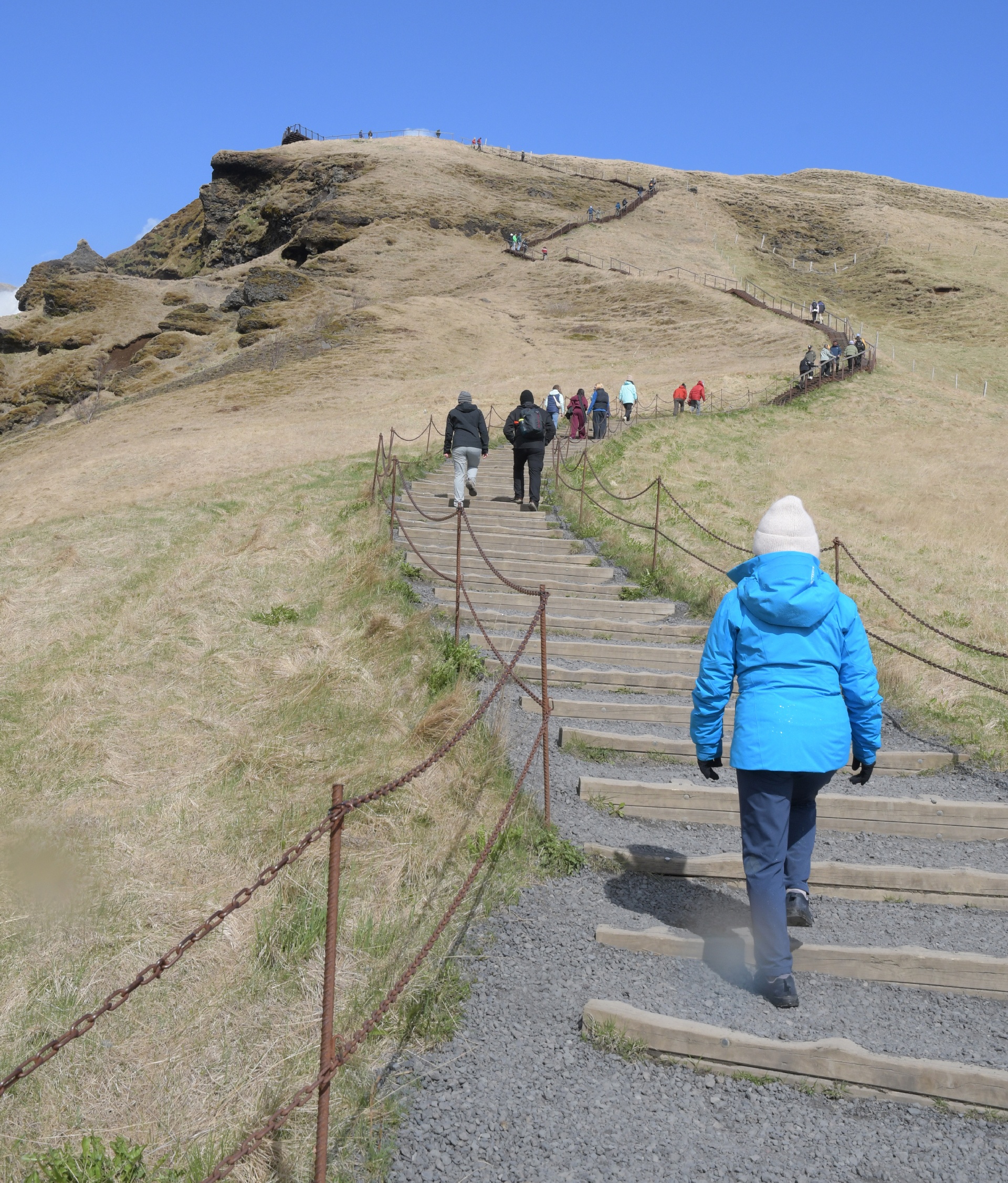
Hmm. Looked better from below...
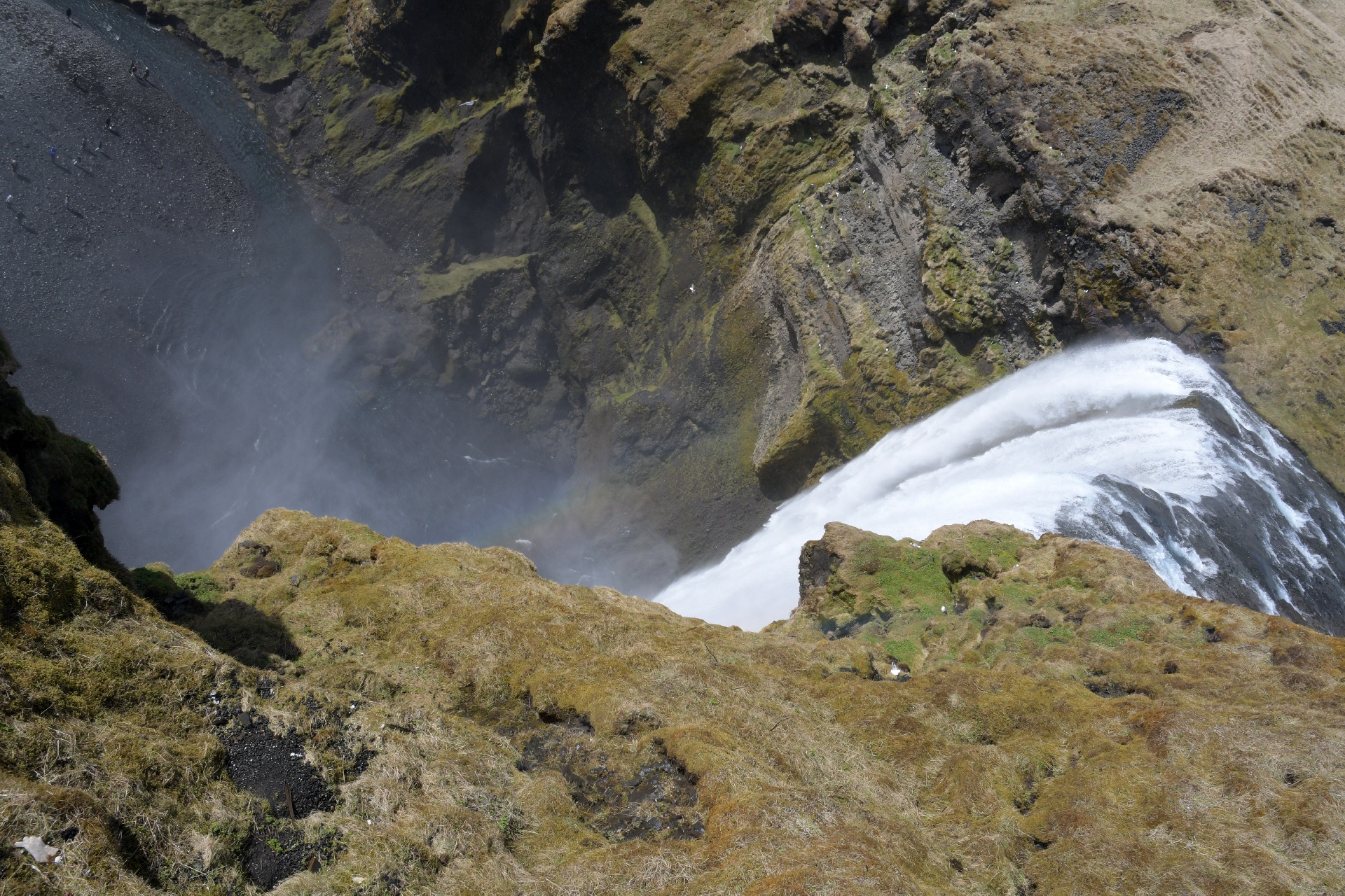
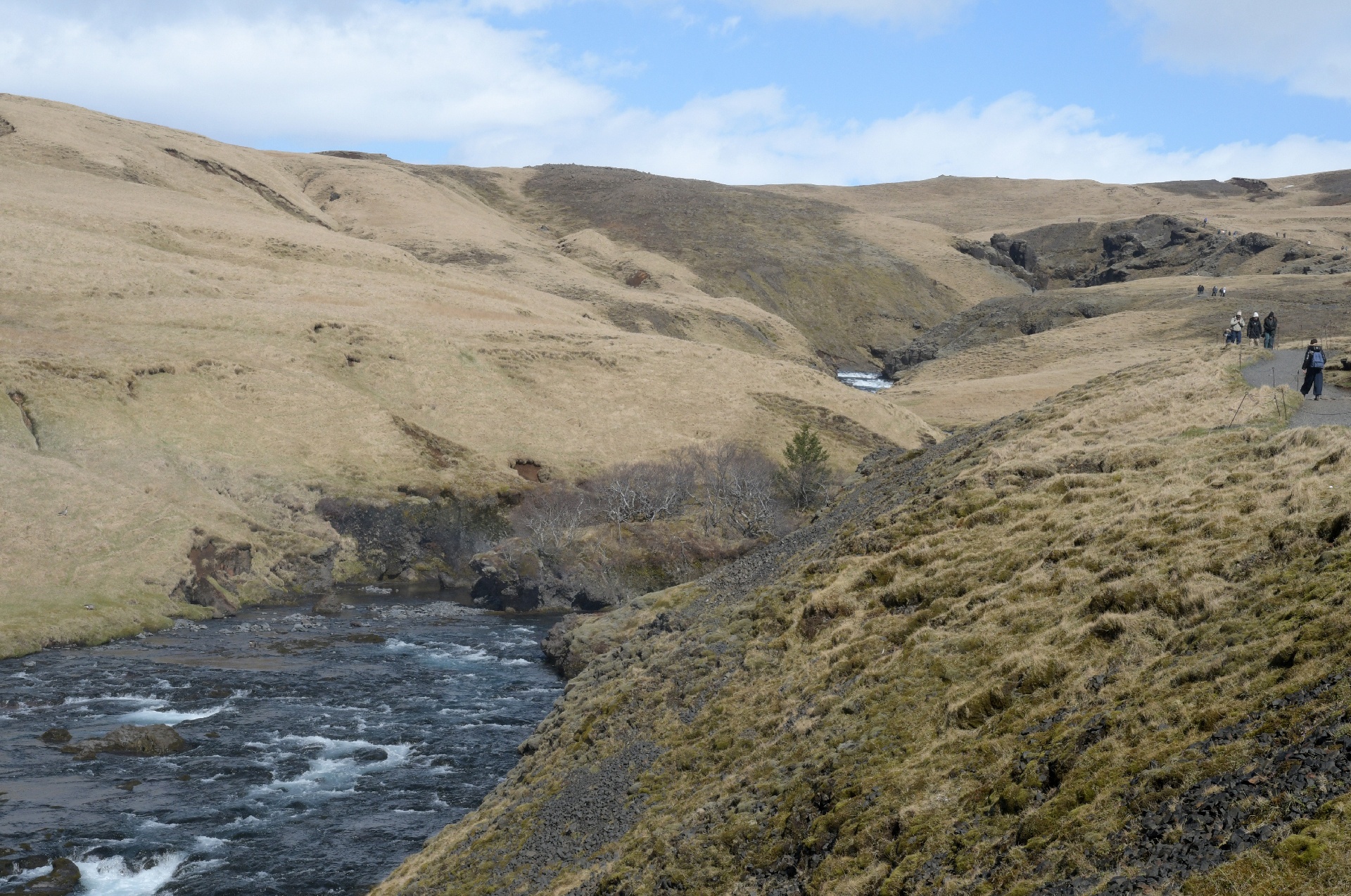
The trail actually continues up into a mountain pass, and is the access point for the peaks in this area.
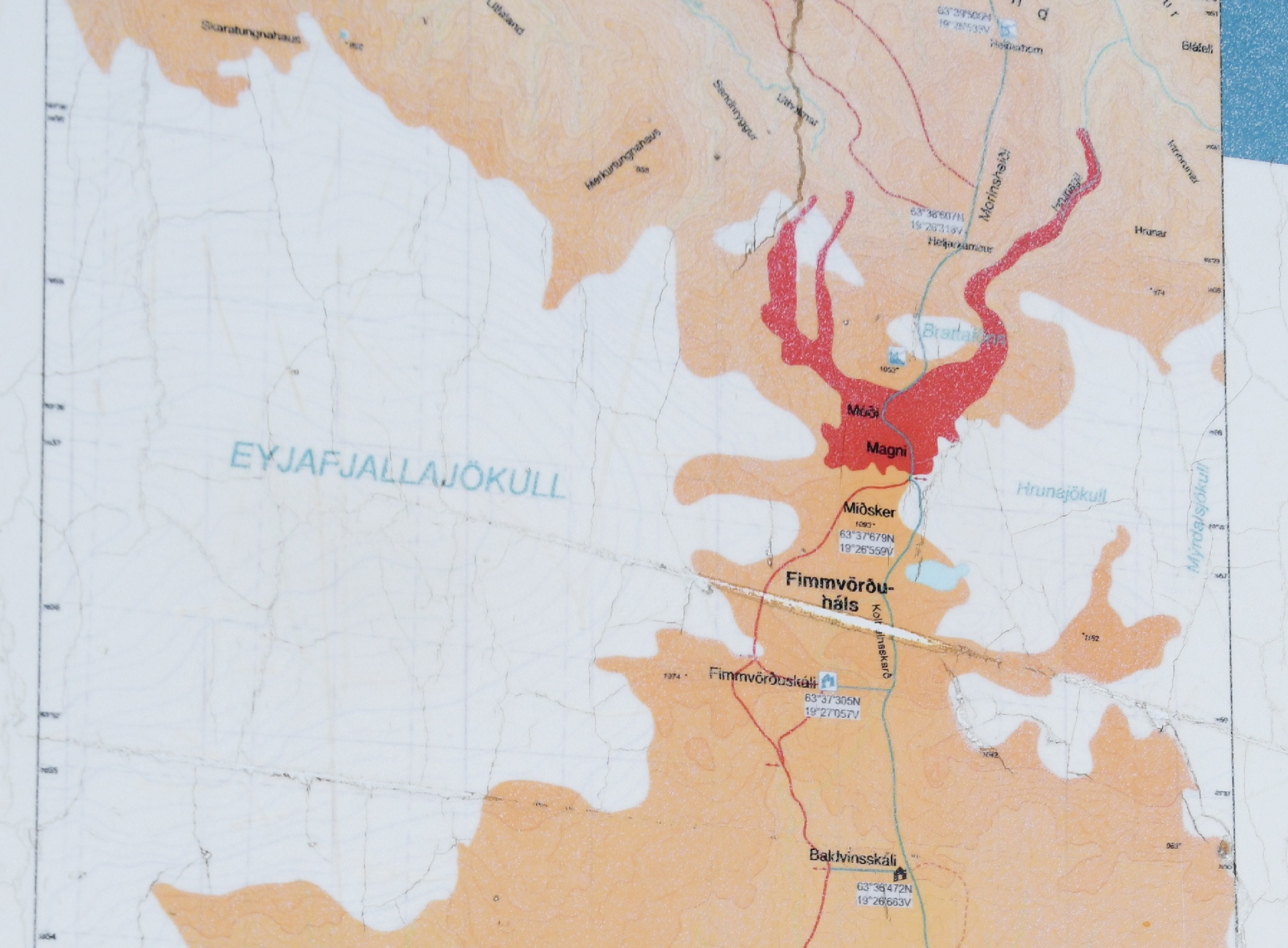
The hiking destination. The lava flow (red) occurred in 2010, and managed to shut down European air traffic for a week.
The glacier's name is one of those tough to pronounce Icelandic words: Eyjafjallajökull ! (A jokull is a glacier) This glacier gave its name to the recent eruption.
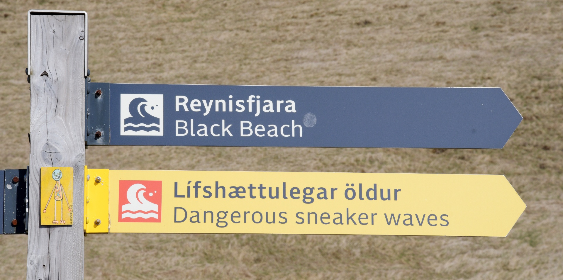
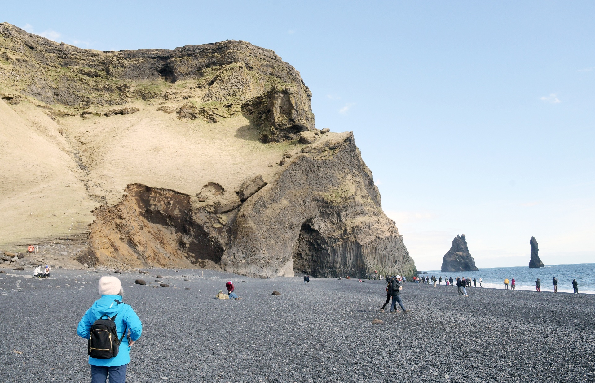
Our next destination, Black Beach, was just down the road from where we would be staying. Since it faced the North Atlantic, care was needed.
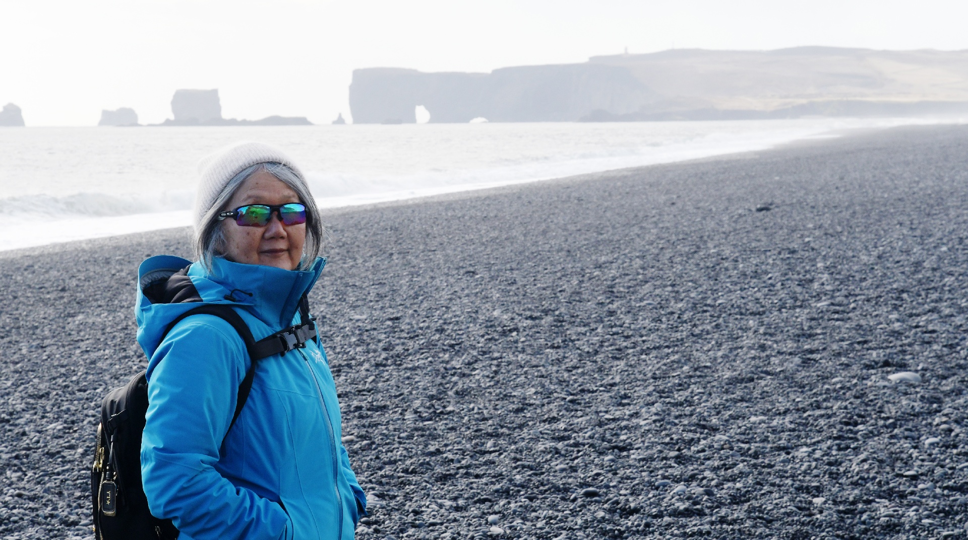
The beach was made of small black pebbles, and continued further than we were willing to walk!
The beach is a popular bus day-trip tour from Reykjavik.
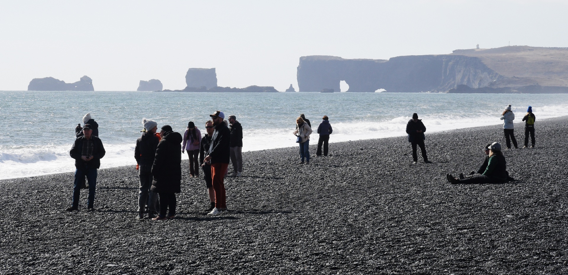
Ok, ok, this is actually the main attraction!
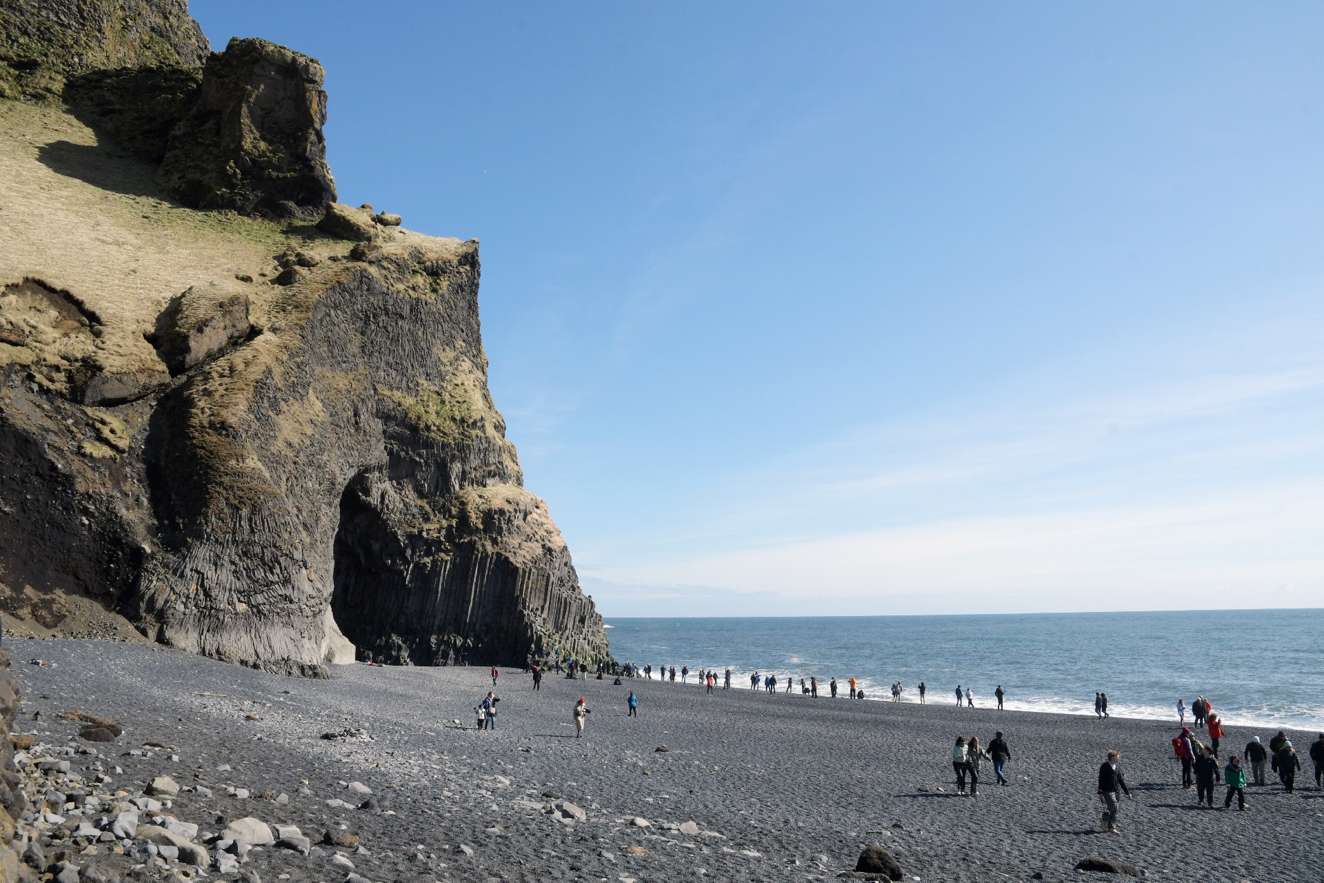
The actual community of Vik is on the other side of this cliff, and cannot be accessed from this side.
The rock columns are not unique to Iceland, but this display is quite spectacular !
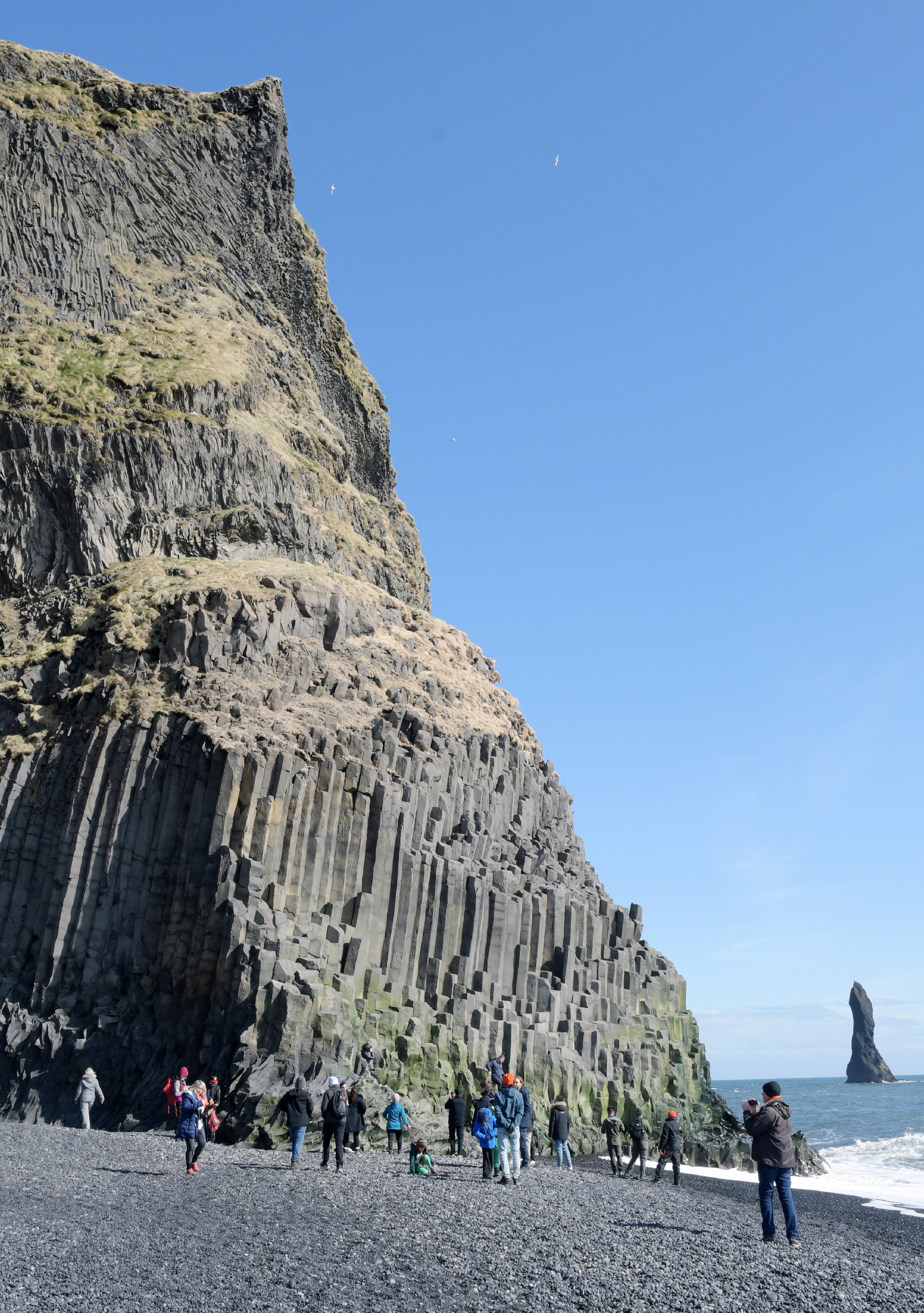
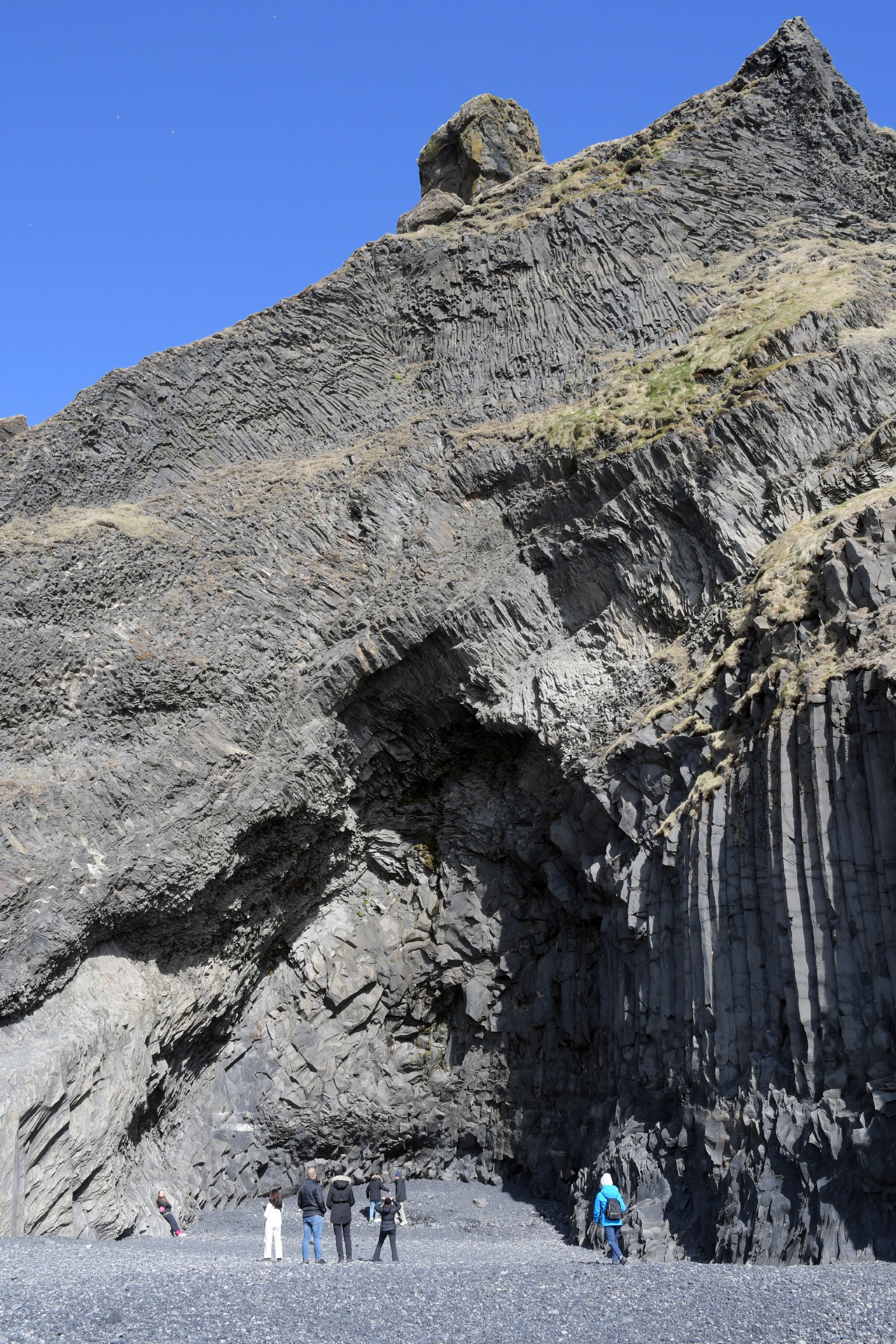
Surprisingly, even though there is obviously a lot of erosion happening here, there were no "beware of falling rocks" warning.
...is this another one of those situations where they can afford to lose a tourist or two?
...next page.
Back to 2026 page.