Around Reykjavik
I discovered that the destination has a name!
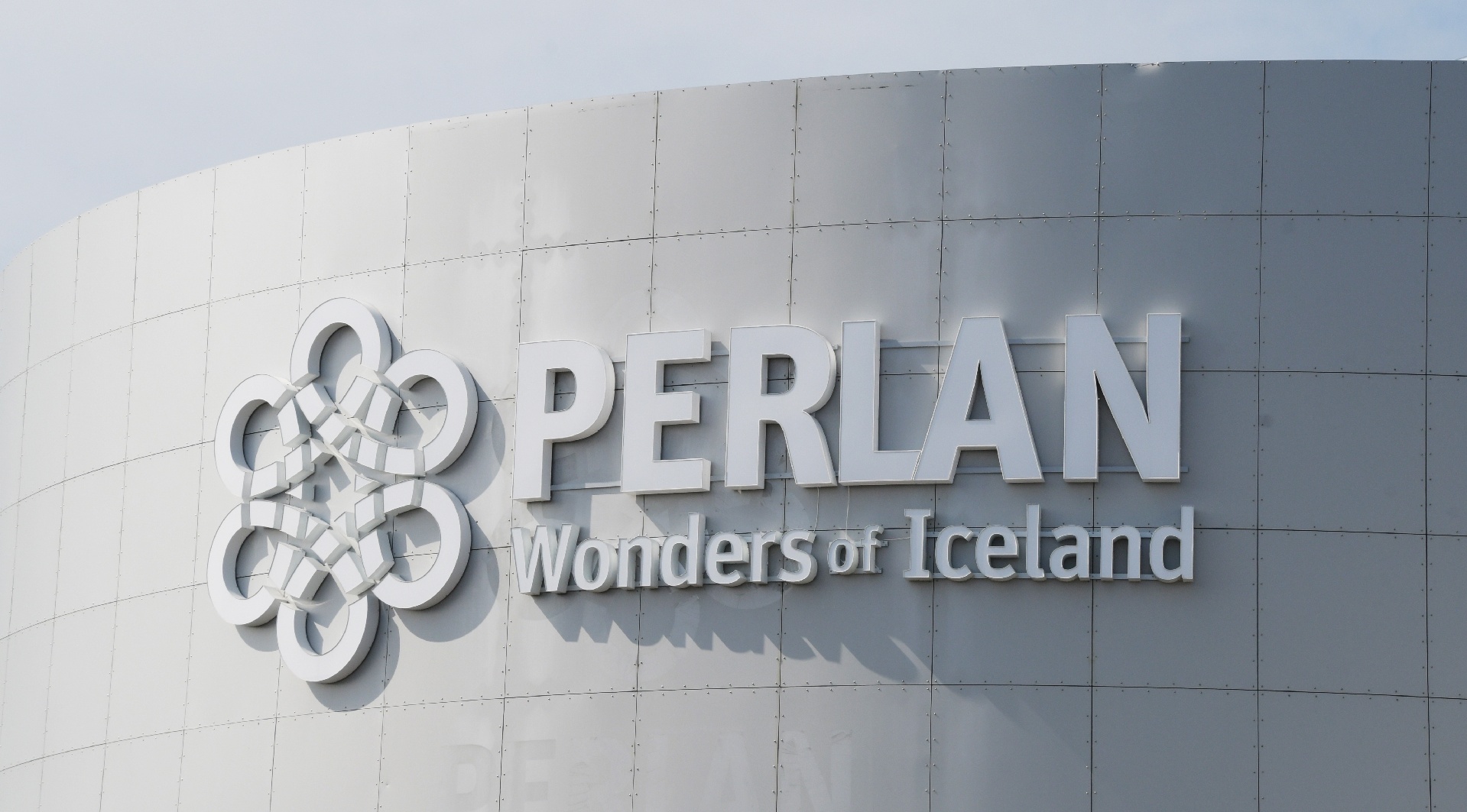
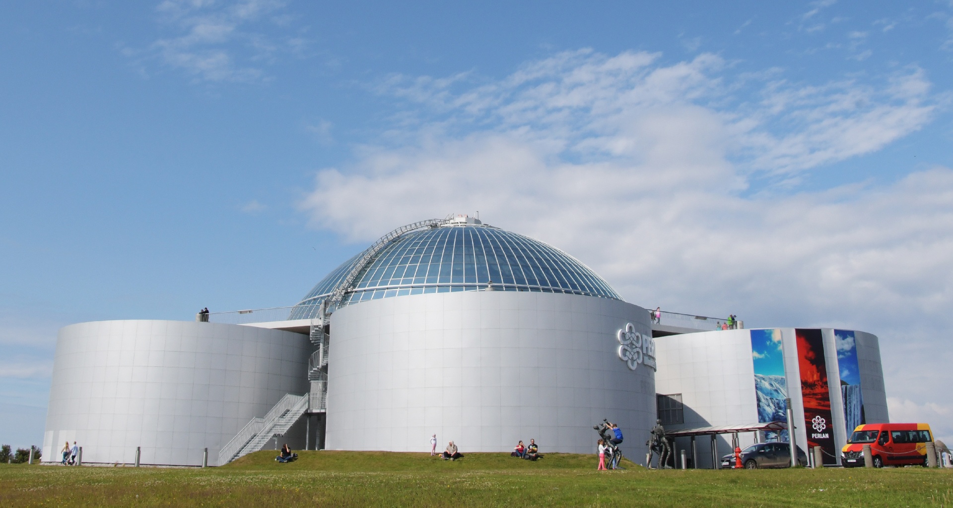
But it really has an industrial container look to it...
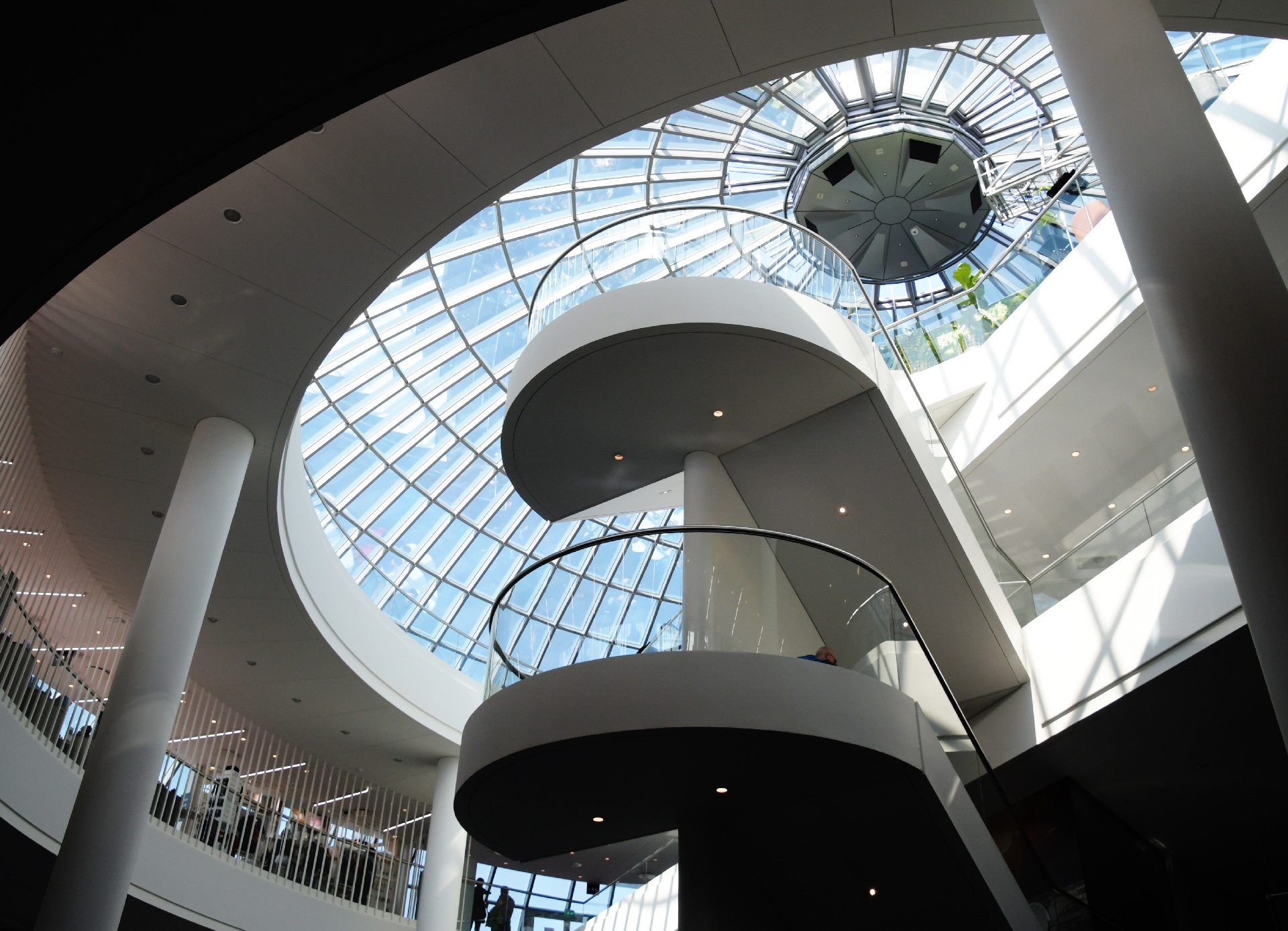
Inside, it reminded me of the Science World setup in Vancouver. Similar types of display, similar type of audience.
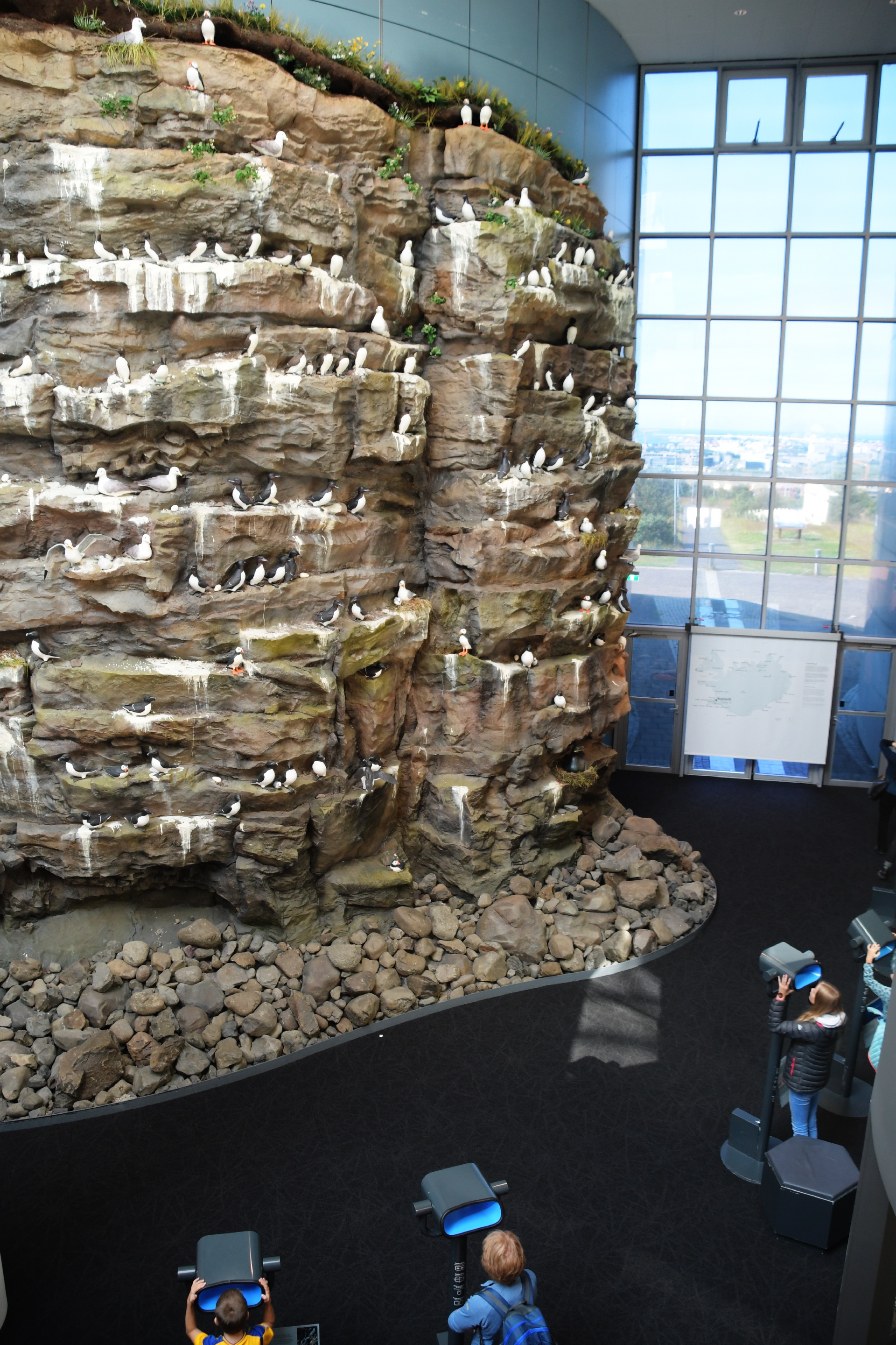
They even had a fake bird cliff! Ok, now you know where I really got those puffin pictures!
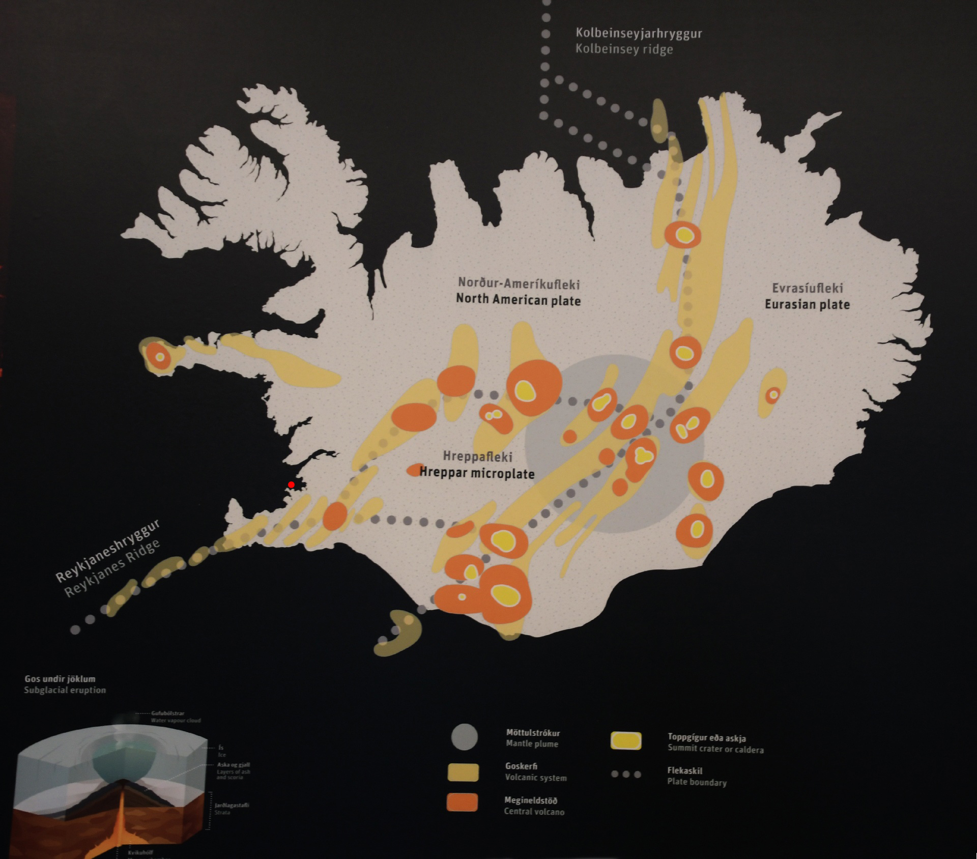
There were a lot of geological history maps and explanations, but I'm only going to show two. This one shows the land seperation-expansion regions very well.
Reykjavik is marked with the red dot. The large grey circle marks where the hot-spot is located under the island. There is one under Hawaii as well.
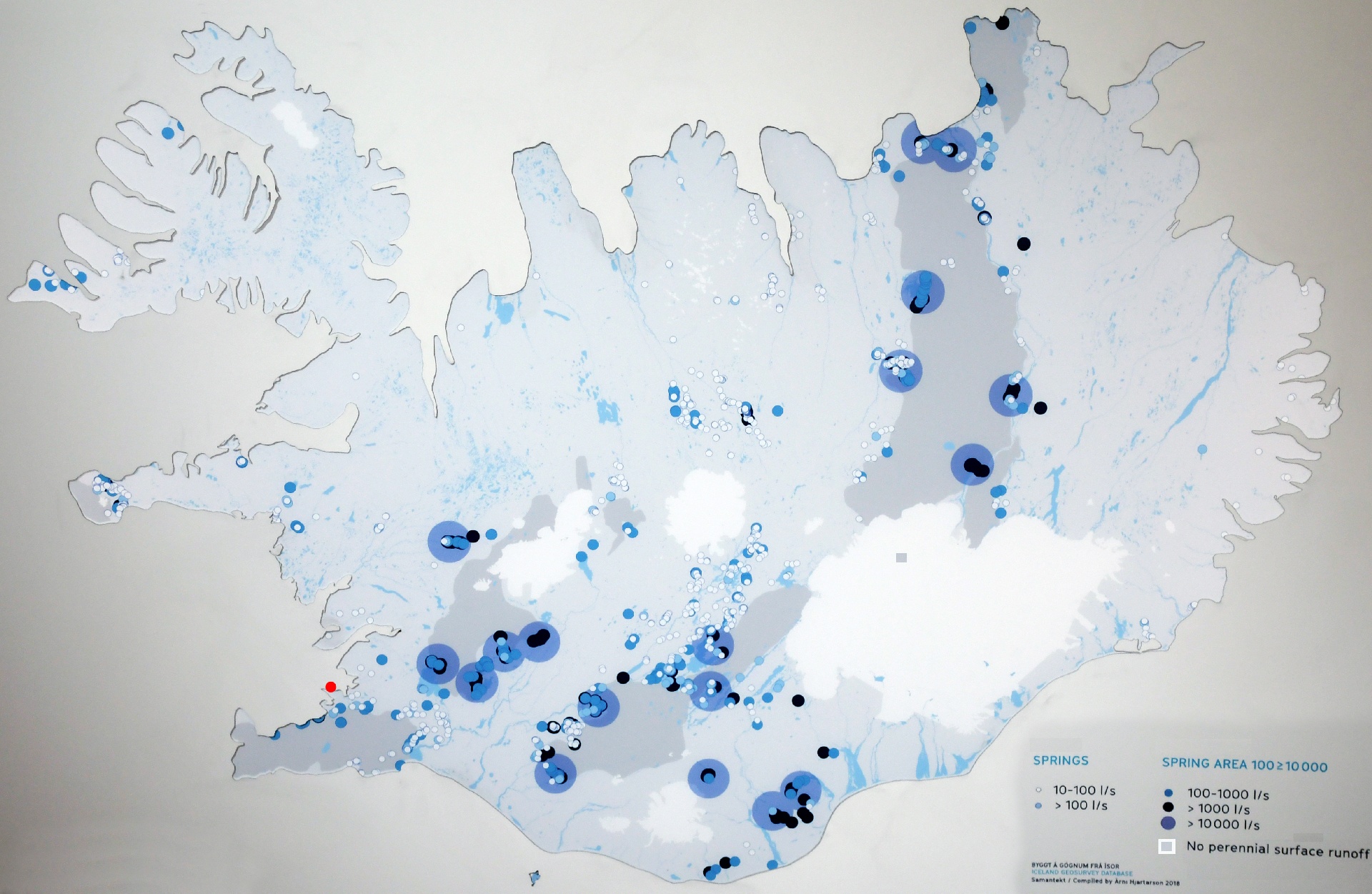
This map shows the hotspring regions and densites. The grey sections have no running surface water, as it is all moving between the lava layers.
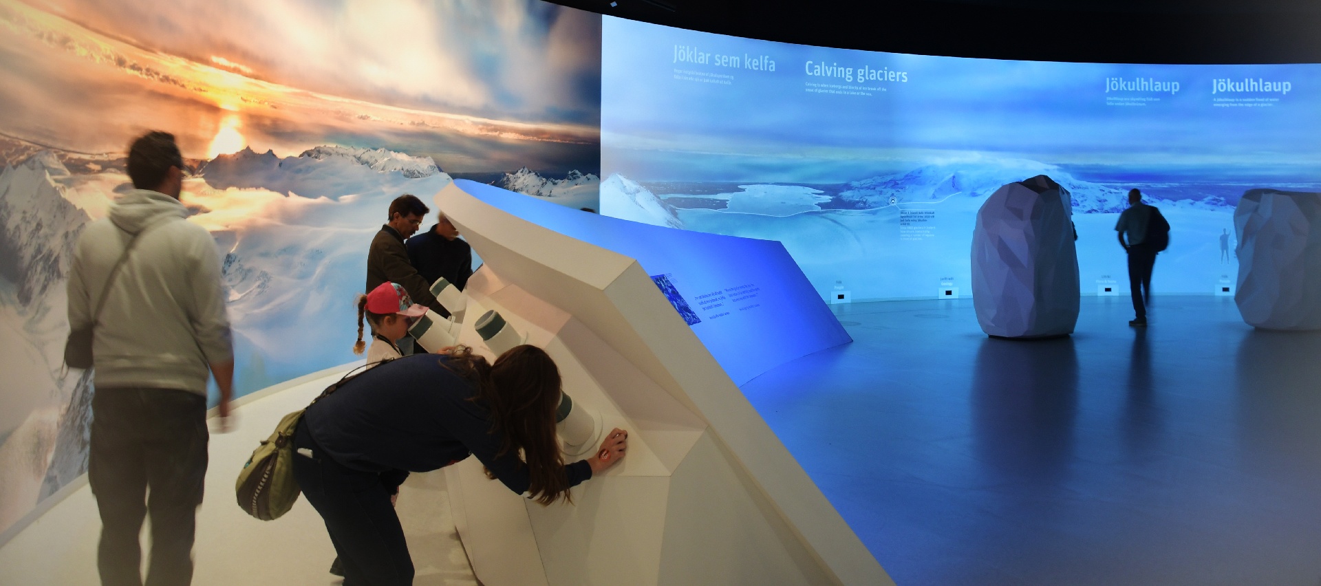
The Science World comparison is more obvious here, with a collection of items to view under microscopes.
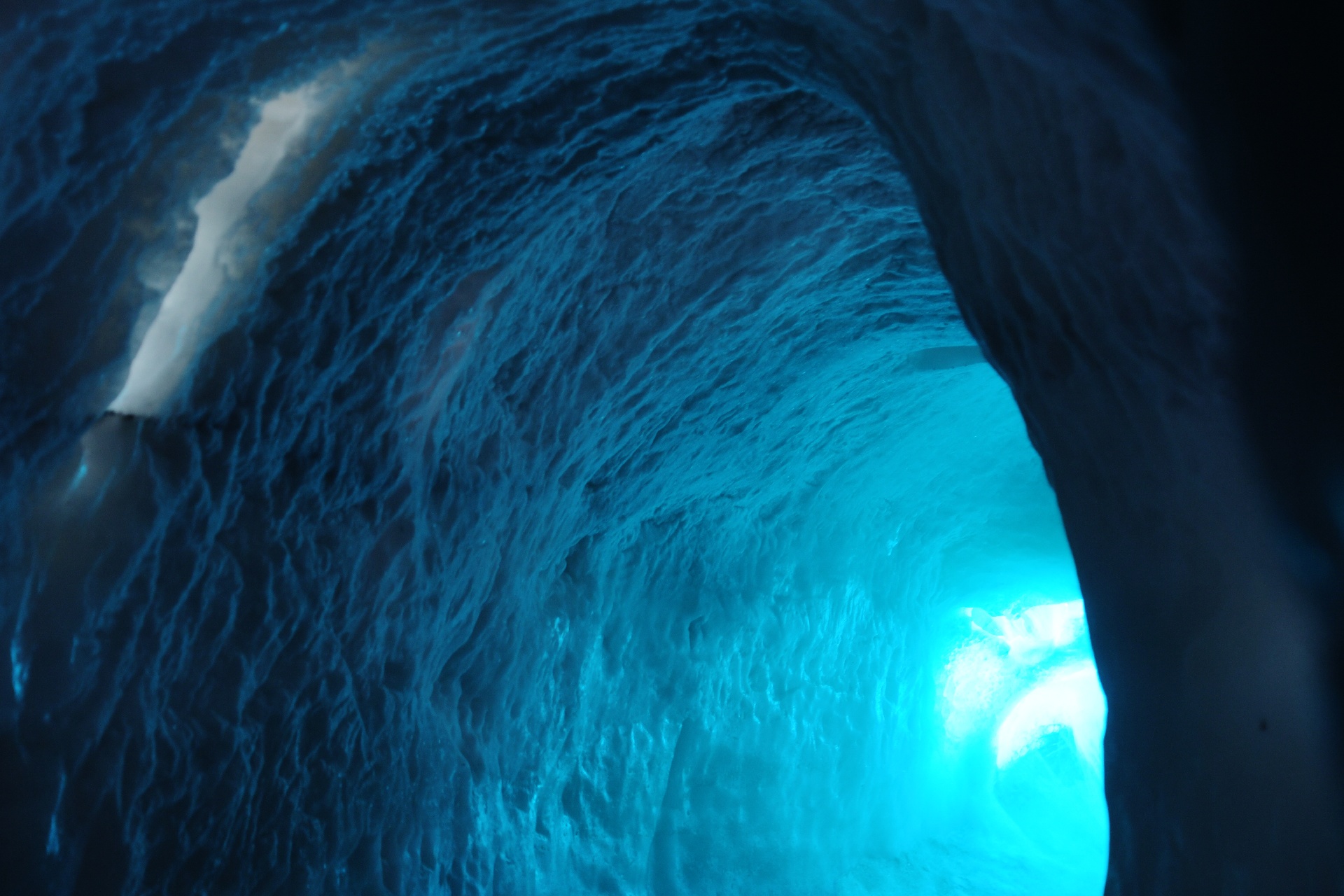
This was cool! ...literally! They had a huge deep-freeze built, and then created their own "glacier" effects! Real ice, real cold!
There was a video we had to watch first, then the attendant handed out thick jackets before she opened the freezer door.
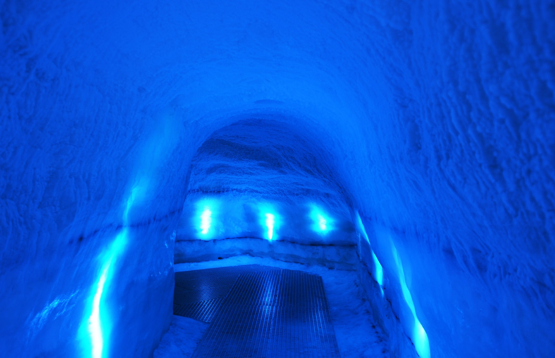
I was in shorts and t-shirt, and declined the offered jacket, and told her: "I'm a Canadian..." She said: "I thought so..."
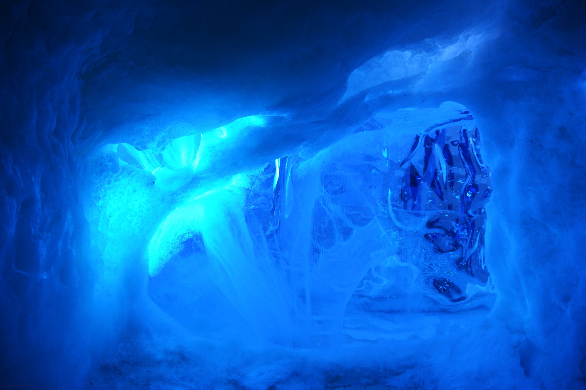
The short series of tunnels were built to duplicate the likely features that would be found within the ice of a glacier.
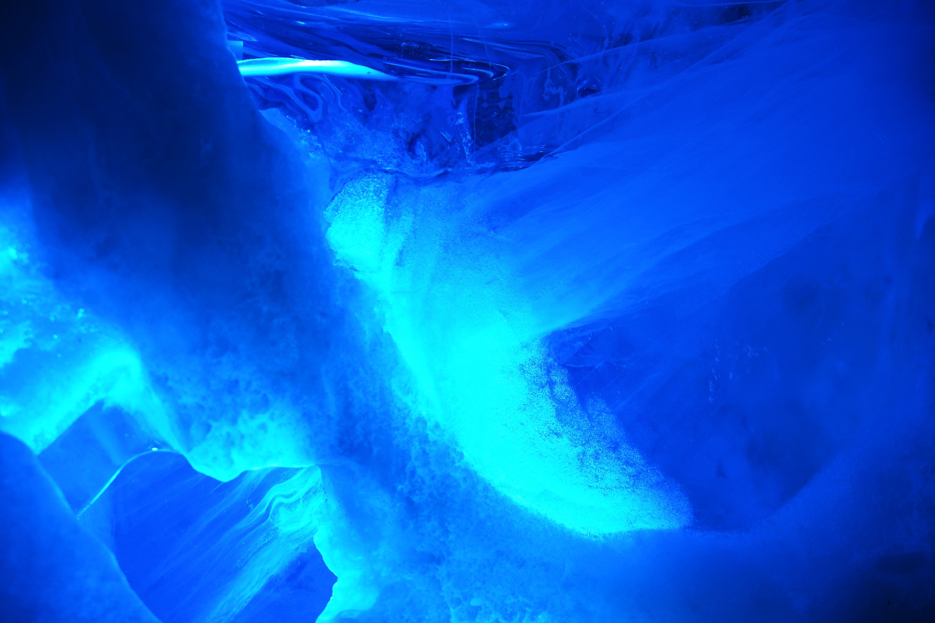
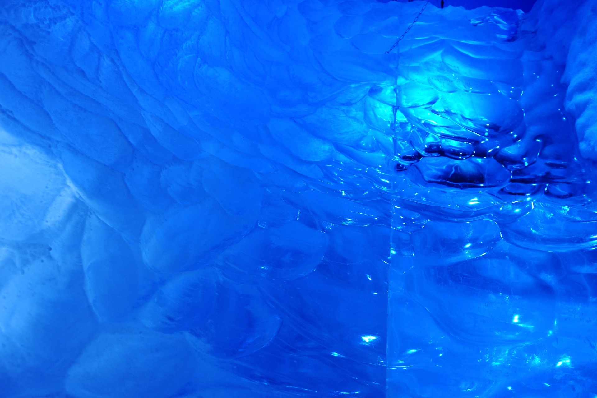
The visible seams between the iceblocks show up clearly in the pictures, but they weren't that obvious in person.
...next page.