Inside the Volcano
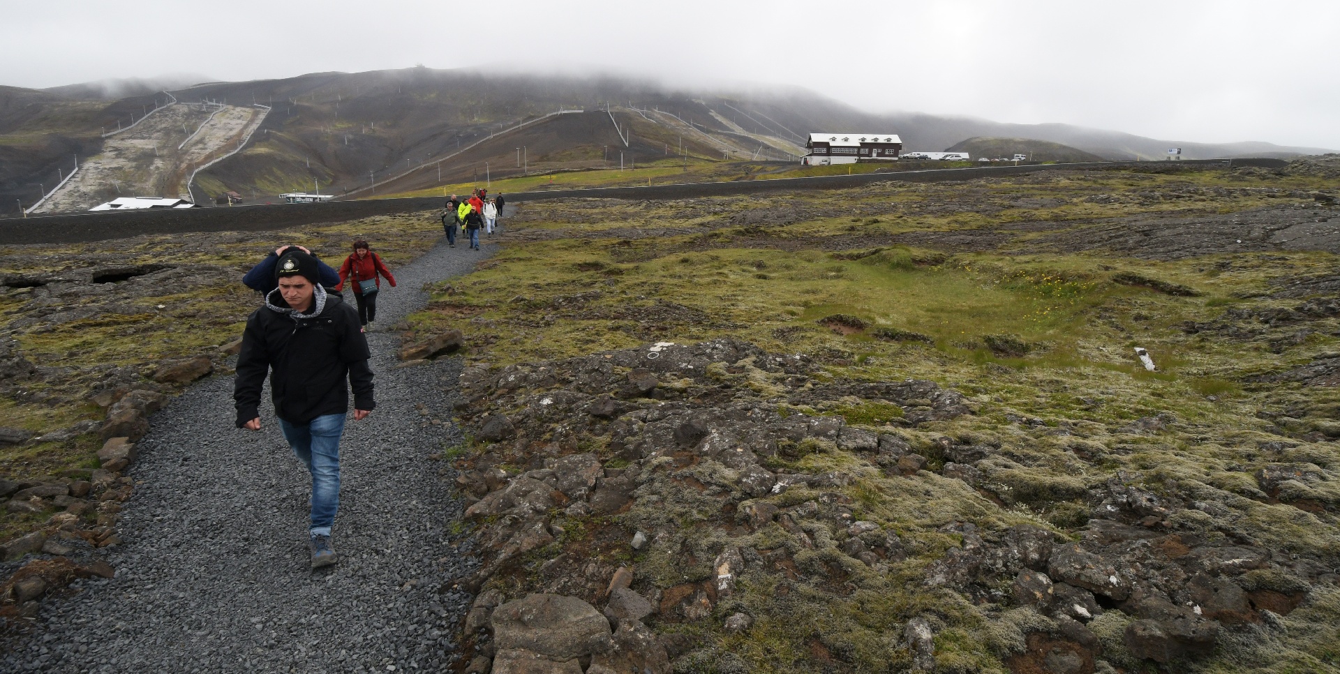
We drove the 30-40 km to the building on the right in the distance. In the winter it's used by skiers. We had to walk 2 km, since the volcano is on protected land.
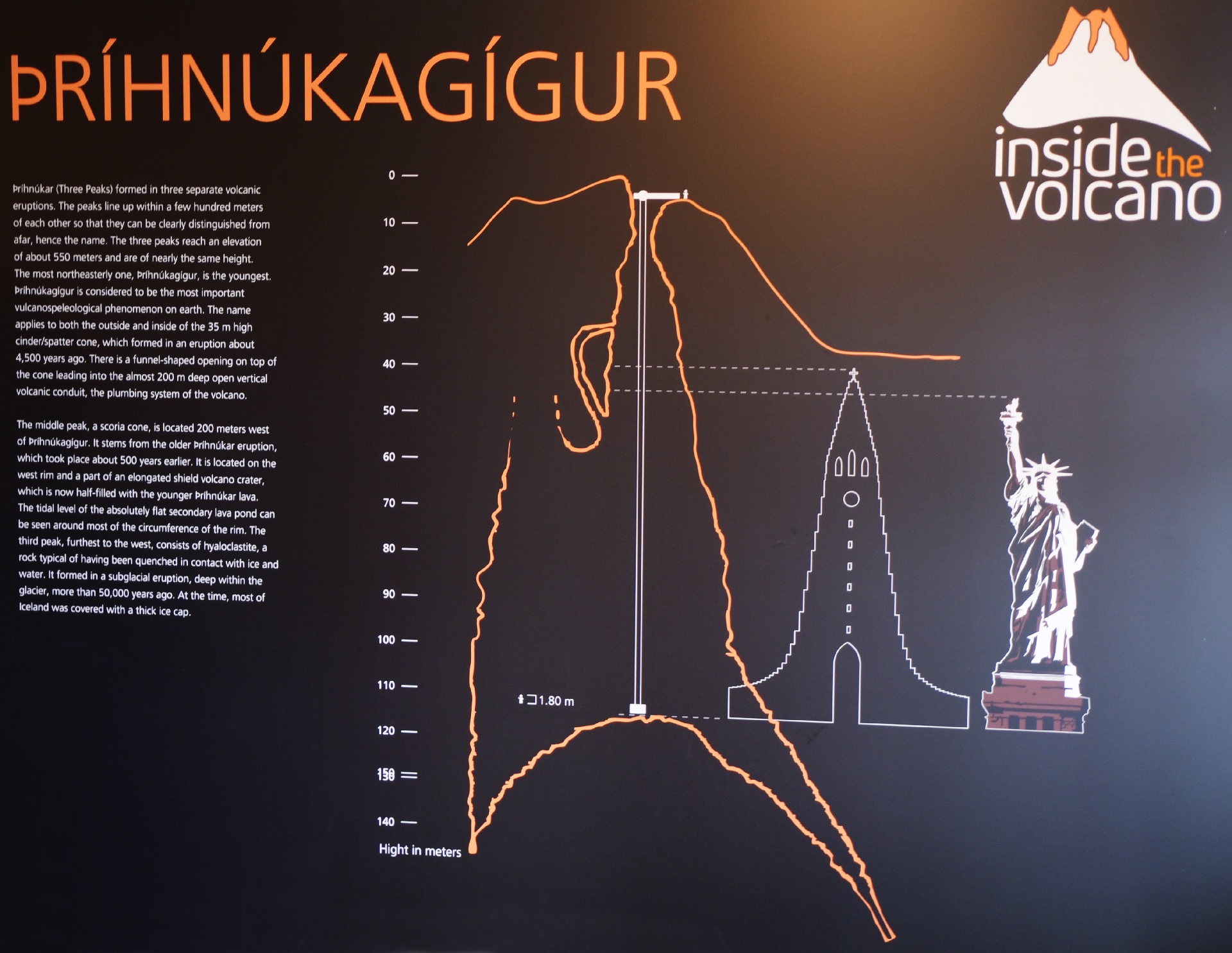
This was the display board at the ski building. The name sounds like Thri-nuka-geeger. That first character is pronounced "th".
Along the way, we walked on an old lava flow, which had a few surface holes here and there...
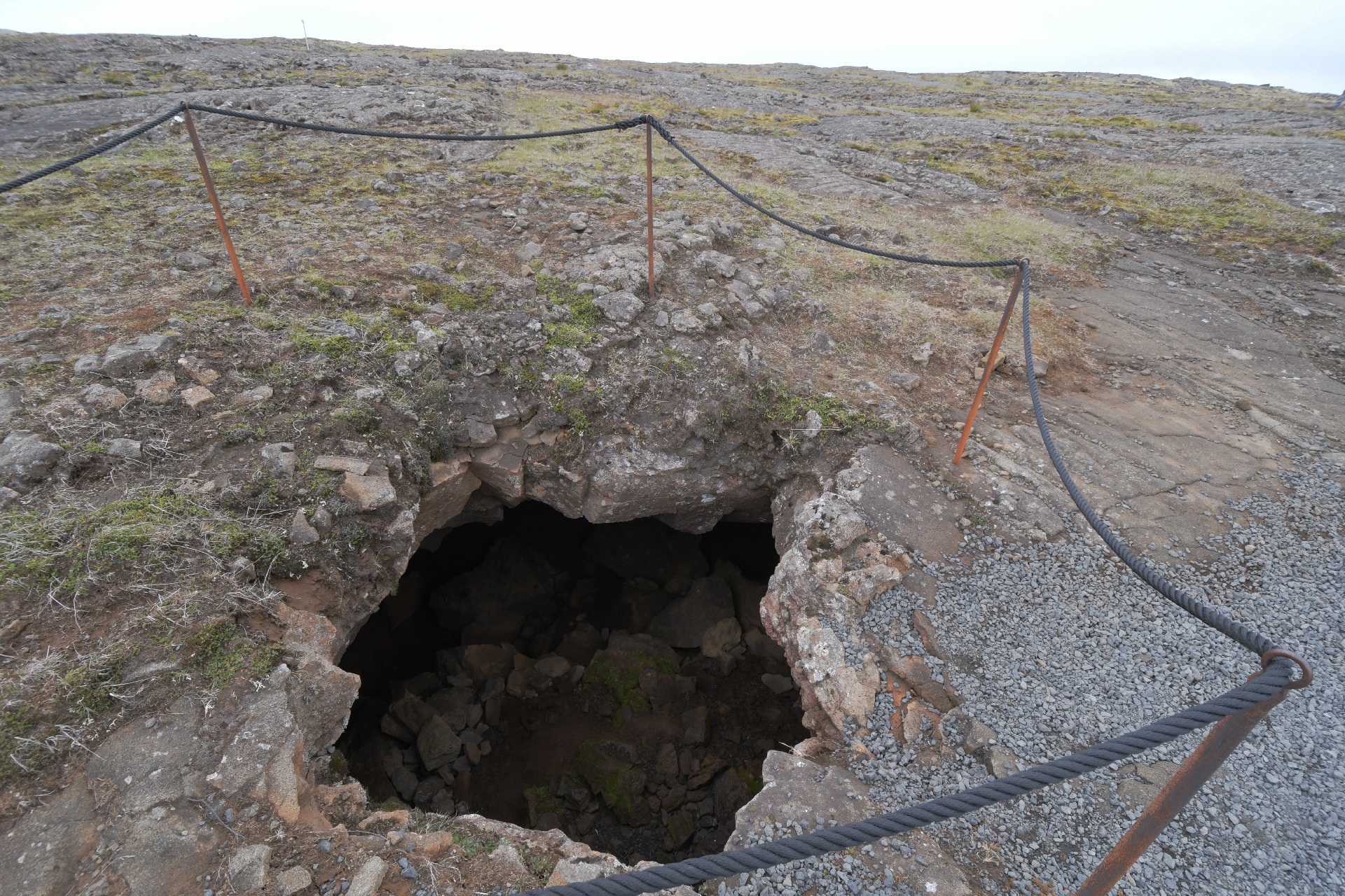
Some were shallow tunnels. The sheep farmers had fun finding their flock in this landscape.
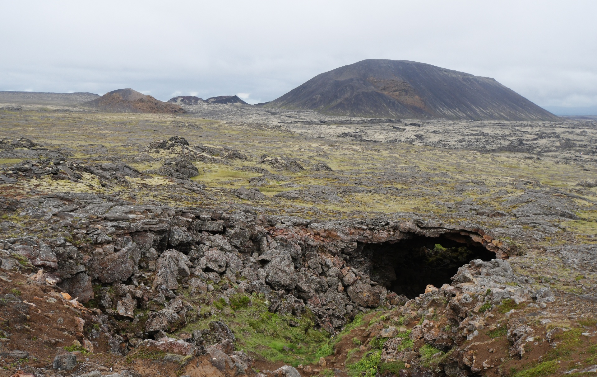
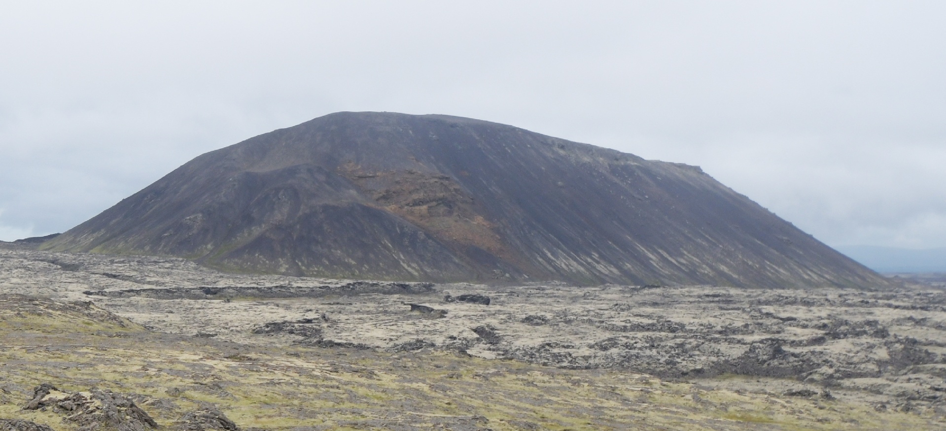
This big hill (from the prior picture) is a volcano that erupted under a glacier. This shape was common around Iceland.
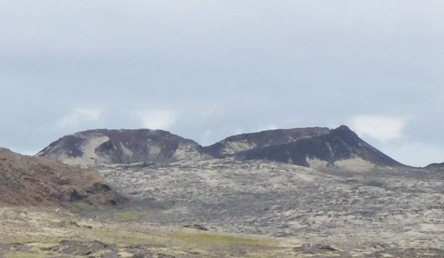
This smaller crater (also from the prior picture) is the one resposible for pouring out all the lava that Reykjavik is now built on.
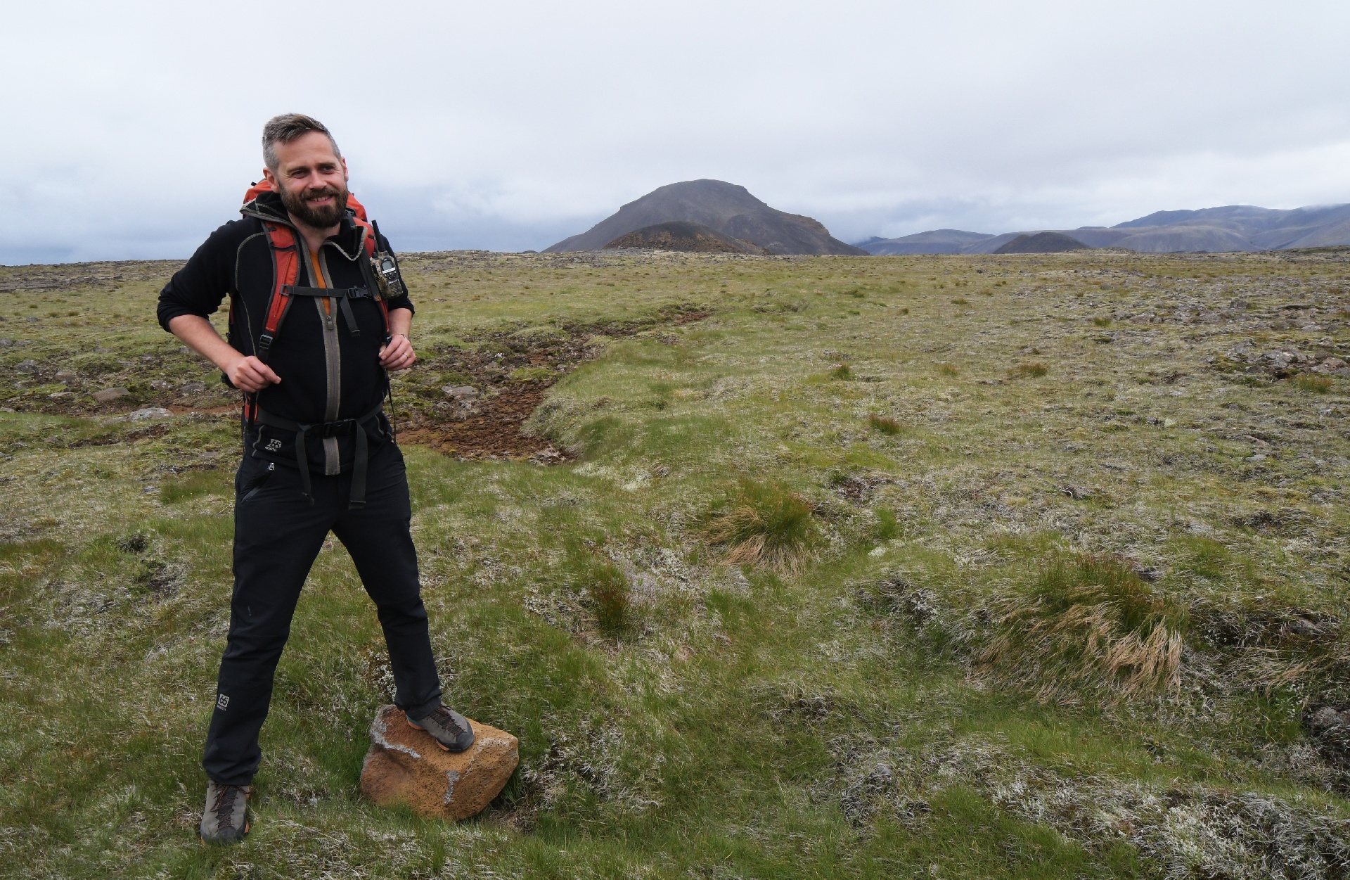
This is our tour guide. You can tell he is Icelandic by his facial hair!
There were multiple tours daily, and it's a good 4 hour activity. Groups left every hour. Here we were crossing a small bridge.
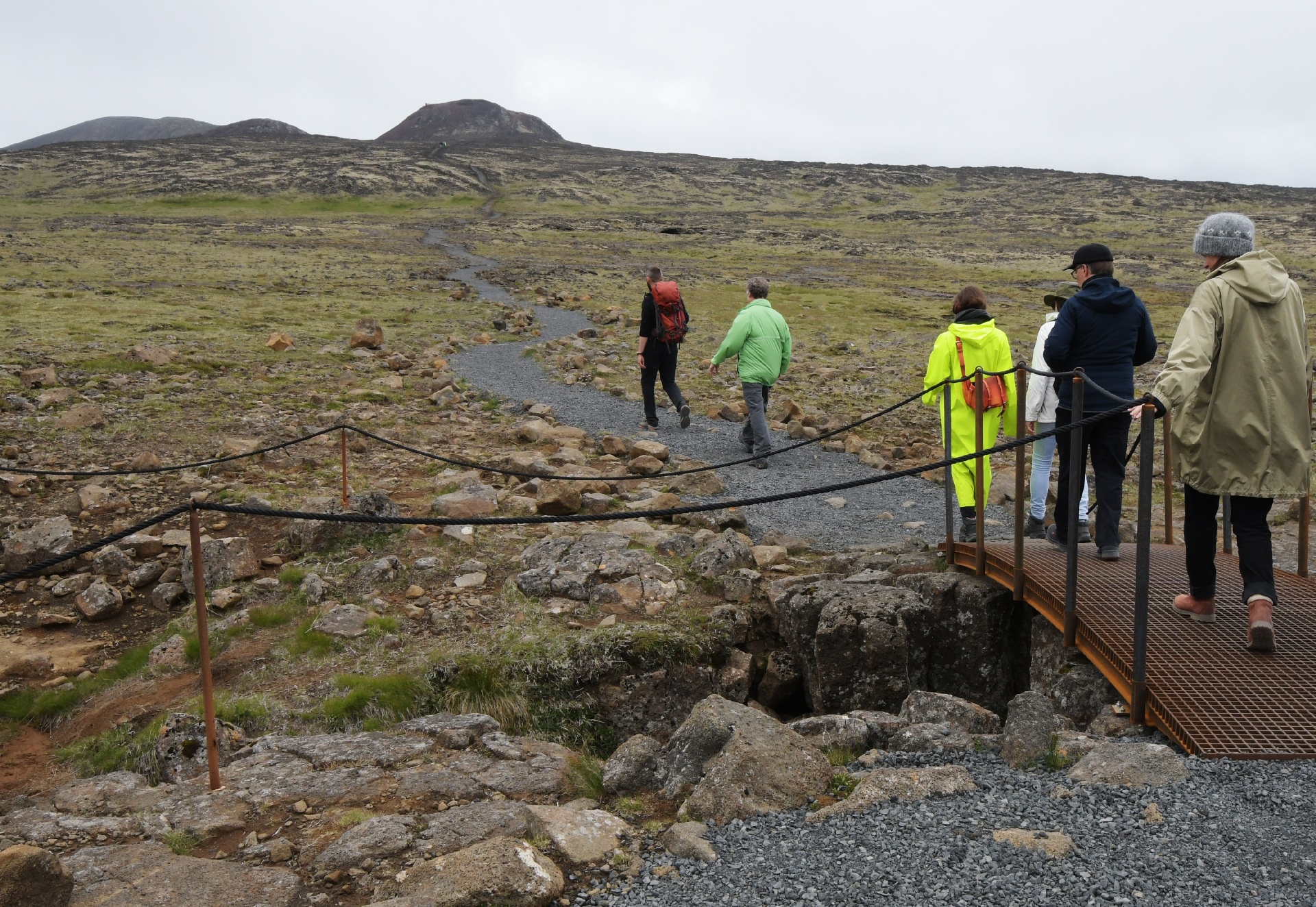
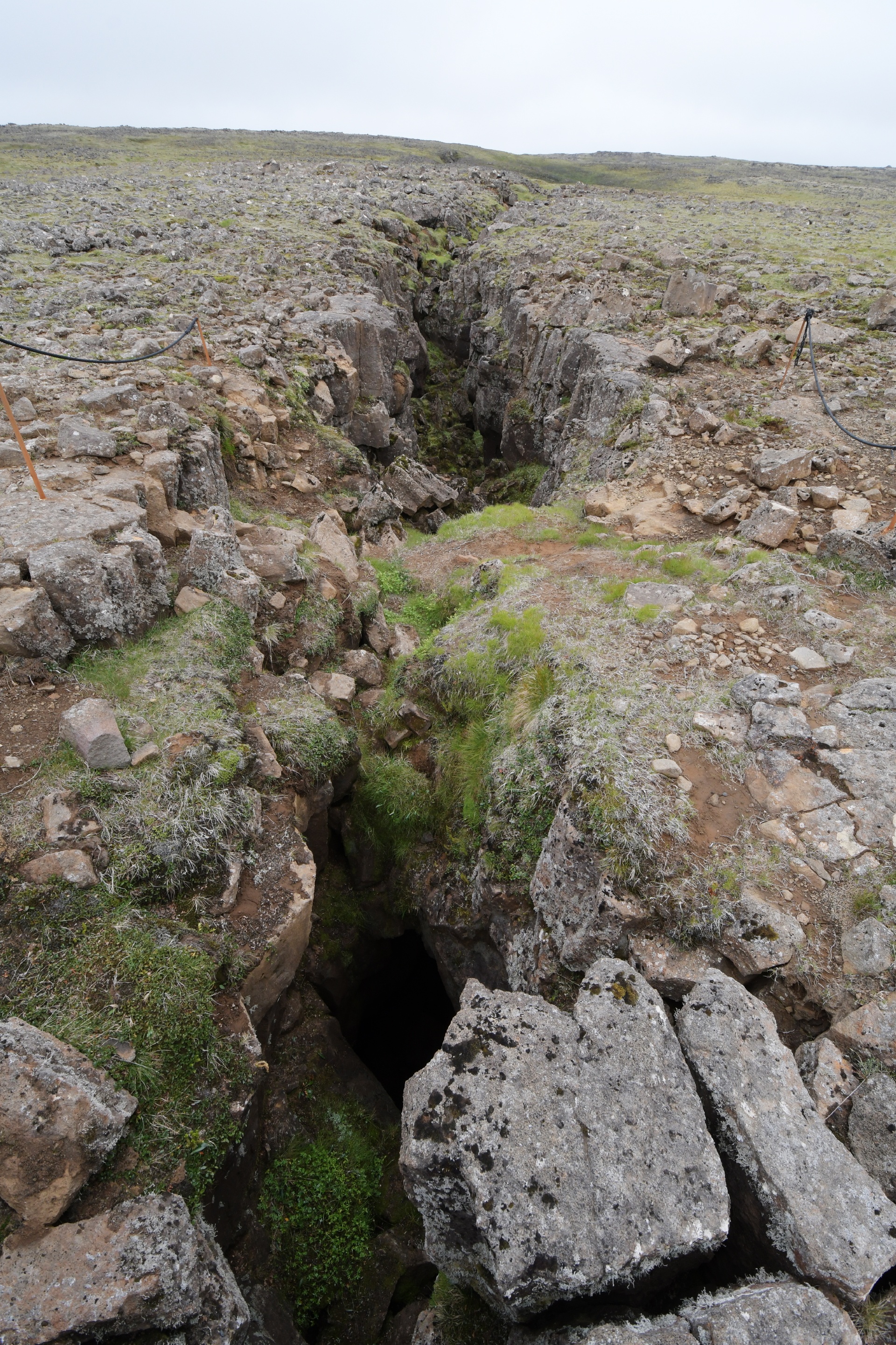
This is looking south from that bridge. This is one of many North-South cracks in Iceland's landscape. The right side is moving away from Europe faster than the left side.
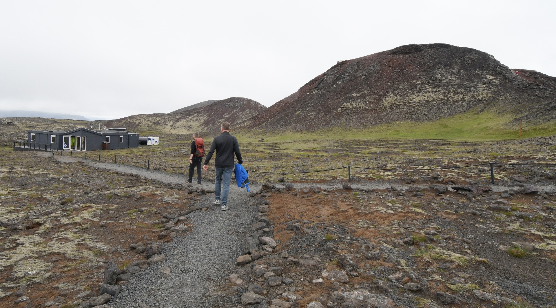
We arrived at the staging hut, the volcano is the obvious hill on the right. We were sorted into 3 groups, mostly based on fitness levels...
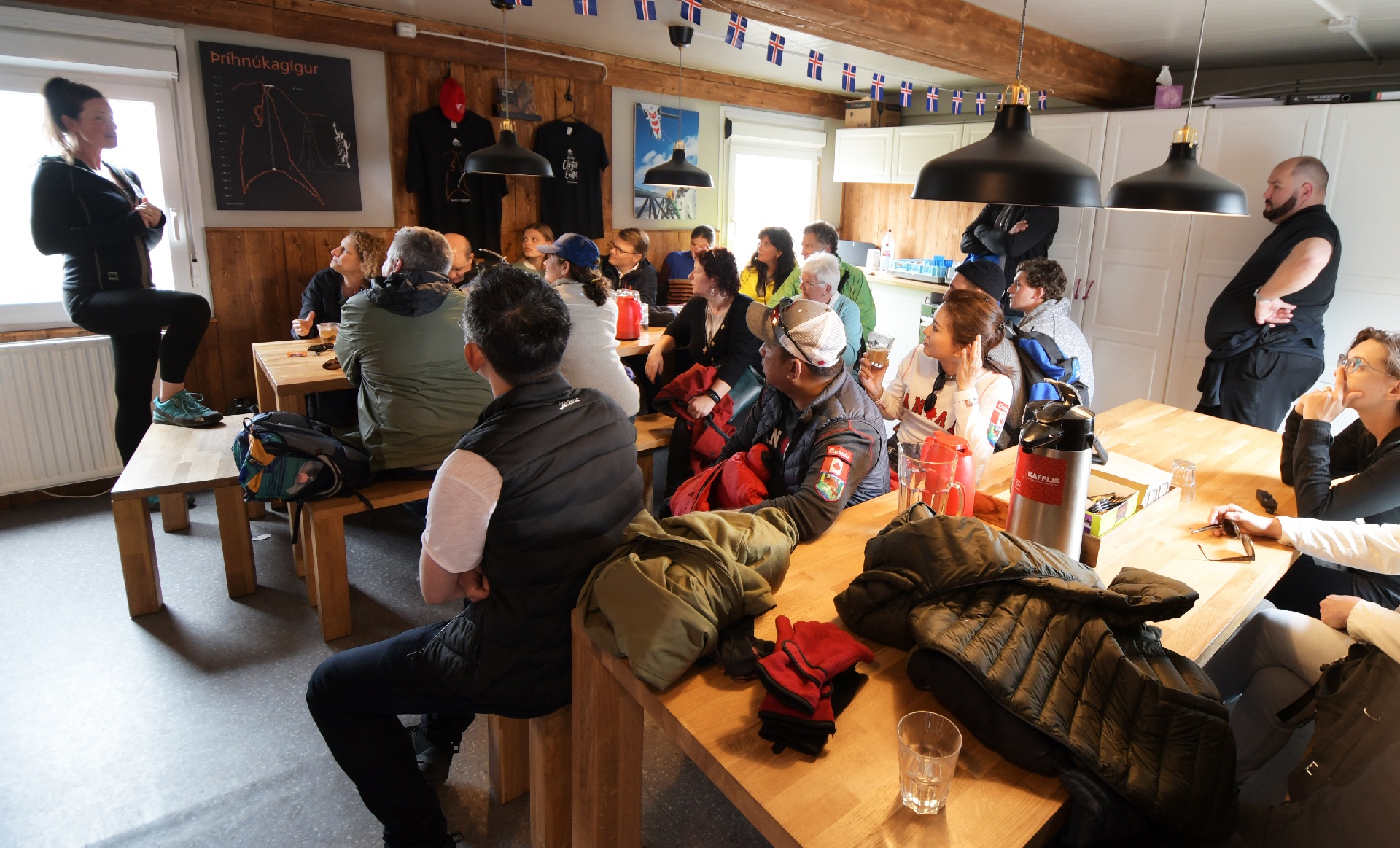
We listened to a presentation on the history, and the safety measures that would be taken. The presenter was Icelandic, but did not have a beard, so must be female...
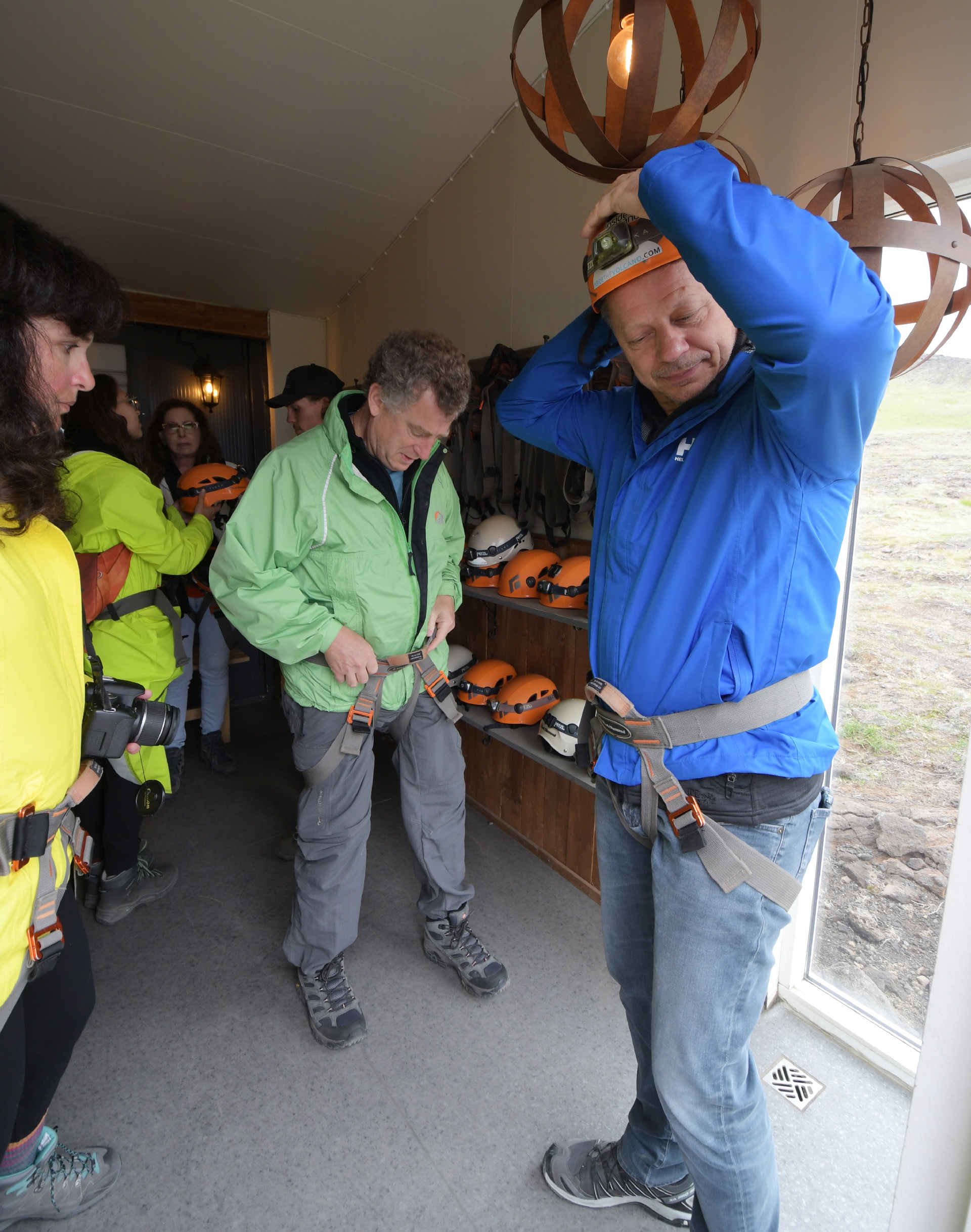
We were given hard hats to wear, and were required to wear rock-climbing harnesses. ...so, nothing risky, right?
We then walked up the volcano, and reached the entry system: a modified window washing platform. We were clipped to the walkway, then clipped to the platform.
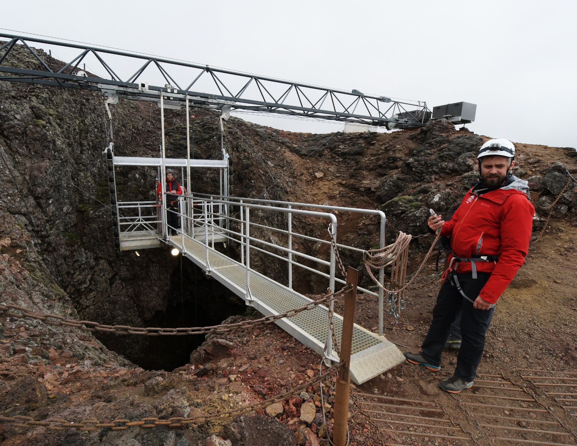
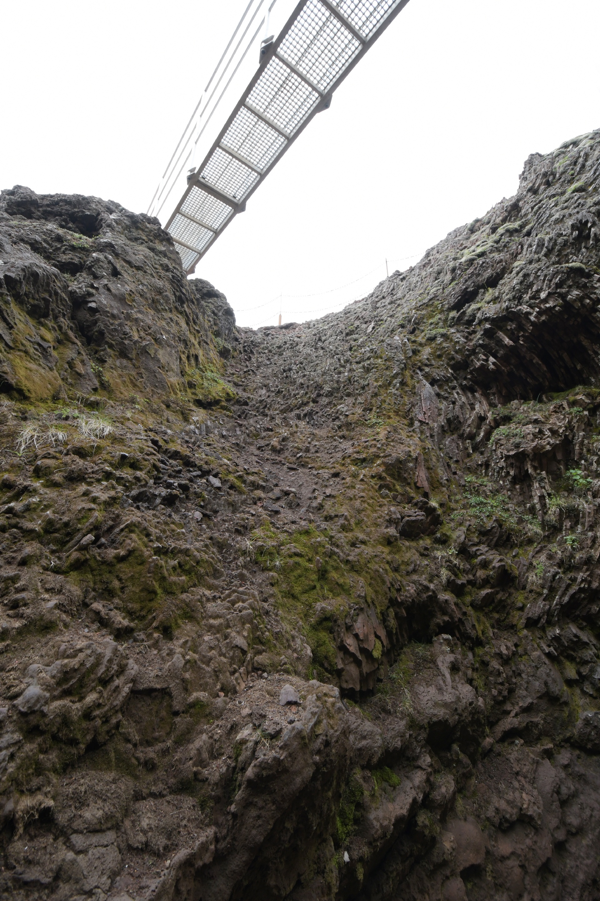
Then, down we went! It took a few minutes to make the journey, with a few nervous moments when the operator had to re-level the platform...
...next page.